File:Angola location map.svg

呢個「SVG」檔案嘅呢個「PNG」預覽嘅大細:547 × 600 像素。 第啲解像度:219 × 240 像素|438 × 480 像素|700 × 768 像素|934 × 1,024 像素|1,868 × 2,048 像素|1,266 × 1,388 像素。
原本檔案 (SVG檔案,表面大細: 1,266 × 1,388 像素,檔案大細:478 KB)
摘要
| 描述 |
Deutsch: Positionskarte von Angola
Quadratische Plattkarte, N-S-Streckung 102 %. Geographische Begrenzung der Karte:
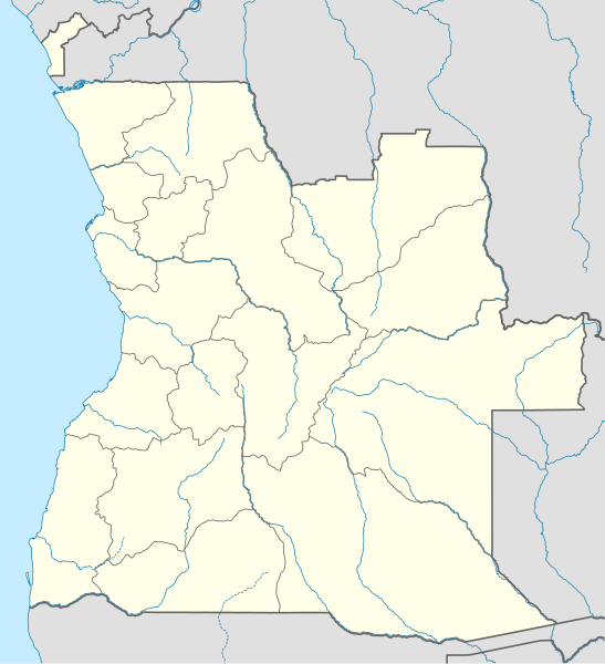
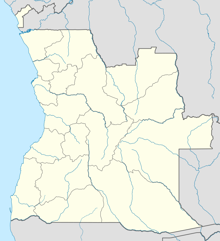
English: Location map of Angola
Equirectangular projection, N/S stretching 102 %. Geographic limits of the map:
|
||
| 日期 | |||
| 來源 |
自己作品, using
|
||
| 作者 | NordNordWest | ||
| 許可 (重用呢個檔案) |
我,呢份作品嘅作者,決定用以下許可發佈呢件作品: 呢個檔案用共享創意 姓名標示-非商業性-相同方式分享3.0 未本地化版本條款授權。
|
||
| SVG genesis | This map was created with unknown tool.
|

檔案歷史
撳個日期/時間去睇響嗰個時間出現過嘅檔案。
| 日期/時間 | 縮圖 | 尺寸 | 用戶 | 註解 | |
|---|---|---|---|---|---|
| 現時 | 2019年8月21號 (三) 18:15 | | 1,266 × 1,388(478 KB) | Hallel | Inclusão de novo mapa com as alterações territoriais das províncias do Bengo e Luanda |
| 2009年10月20號 (二) 17:35 |  | 1,266 × 1,388(478 KB) | NordNordWest | =={{int:filedesc}}== {{Information |Description= {{de|Positionskarte von Angola}} Quadratische Plattkarte, N-S-Streckung 102 %. Geographische Begrenzung der Karte: * N: 4.1° S * S: 18.5° S * W: 11.1° O * O: 24.5° O {{en|Location map of |
檔案用途
以下嘅1版用到呢個檔:
全域檔案使用情況
下面嘅維基都用緊呢個檔案:
- af.wikipedia.org嘅使用情況
- am.wikipedia.org嘅使用情況
- an.wikipedia.org嘅使用情況
- ar.wikipedia.org嘅使用情況
- ast.wikipedia.org嘅使用情況
- Luanda
- Ríu Congu
- Bolongongo
- Londuimbale
- N'Zeto
- Lubalo
- África Central
- Lubango
- Área de caltenimientu Kavango-Zambeze
- Ríu Zambeze
- Morro do Moco
- Benguela
- Módulu:Mapa de llocalización/datos/Angola
- Módulu:Mapa de llocalización/datos/Angola/usu
- Aeropuertu Internacional Quatro de Fevereiro
- Aeropuertu de Benguela
- Aeropuertu de Cabinda
- Aeropuertu de Kuito
- Lobito
- azb.wikipedia.org嘅使用情況
睇呢個檔案嘅更多全域使用情況。