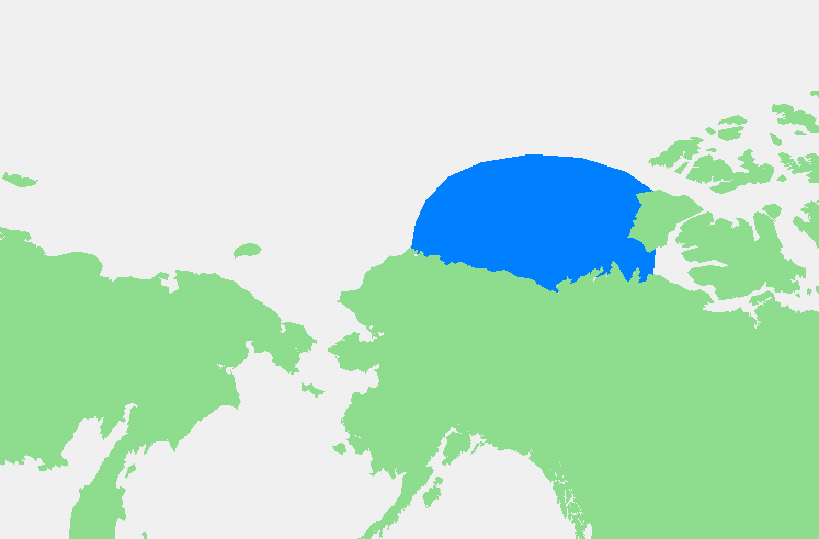
File:Beaufortzee.PNG
冇更高解像度嘅圖像。
Beaufortzee.PNG (747 × 492 像素,檔案大細:16 KB ,MIME類型:image/png)
| 描述 | Beaufortzee / Beaufort Sea | ||||
| 來源 | 自己作品 | ||||
| 作者 | edited by M.Minderhoud | ||||
| 許可 (重用呢個檔案) |
|
檔案歷史
撳個日期/時間去睇響嗰個時間出現過嘅檔案。
| 日期/時間 | 縮圖 | 尺寸 | 用戶 | 註解 | |
|---|---|---|---|---|---|
| 現時 | 2006年11月3號 (五) 19:13 | | 747 × 492(16 KB) | Michiel1972 | {{Information |Description= {{subst:PAGENAME}} |Source= |Date= |Author= edited by M.Minderhoud |Permission= {{PD-Demis}} |other_versions= }} Category:Locator maps of seas |
檔案用途
以下嘅1版用到呢個檔:
全域檔案使用情況
下面嘅維基都用緊呢個檔案:
- af.wikipedia.org嘅使用情況
- an.wikipedia.org嘅使用情況
- ar.wikipedia.org嘅使用情況
- ast.wikipedia.org嘅使用情況
- avk.wikipedia.org嘅使用情況
- azb.wikipedia.org嘅使用情況
- bg.wikipedia.org嘅使用情況
- bn.wikipedia.org嘅使用情況
- br.wikipedia.org嘅使用情況
- bs.wikipedia.org嘅使用情況
- ca.wikipedia.org嘅使用情況
- de.wikipedia.org嘅使用情況
- el.wikipedia.org嘅使用情況
- en.wikipedia.org嘅使用情況
- eo.wikipedia.org嘅使用情況
- es.wikipedia.org嘅使用情況
- fa.wikipedia.org嘅使用情況
- fi.wikipedia.org嘅使用情況
- fr.wikipedia.org嘅使用情況
- fy.wikipedia.org嘅使用情況
- gl.wikipedia.org嘅使用情況
- hr.wikipedia.org嘅使用情況
- hu.wikipedia.org嘅使用情況
- hy.wikipedia.org嘅使用情況
- ia.wikipedia.org嘅使用情況
- id.wikipedia.org嘅使用情況
- ilo.wikipedia.org嘅使用情況
- is.wikipedia.org嘅使用情況
- ka.wikipedia.org嘅使用情況
- kbd.wikipedia.org嘅使用情況
- ky.wikipedia.org嘅使用情況
- la.wikipedia.org嘅使用情況
- li.wikipedia.org嘅使用情況
- mk.wikipedia.org嘅使用情況
- ml.wikipedia.org嘅使用情況
- mn.wikipedia.org嘅使用情況
- ms.wikipedia.org嘅使用情況
- mzn.wikipedia.org嘅使用情況
- nl.wikipedia.org嘅使用情況
- pl.wikipedia.org嘅使用情況
- pl.wiktionary.org嘅使用情況
- pnb.wikipedia.org嘅使用情況
- pt.wikipedia.org嘅使用情況
- sc.wikipedia.org嘅使用情況
- simple.wikipedia.org嘅使用情況
睇呢個檔案嘅更多全域使用情況。