File:Centre-Val de Loire region location map.svg

呢個「SVG」檔案嘅呢個「PNG」預覽嘅大細:492 × 600 像素。 第啲解像度:197 × 240 像素|394 × 480 像素|630 × 768 像素|840 × 1,024 像素|1,680 × 2,048 像素|1,726 × 2,104 像素。
原本檔案 (SVG檔案,表面大細: 1,726 × 2,104 像素,檔案大細:4.32 MB)
united state of America
摘要
| 描述 |
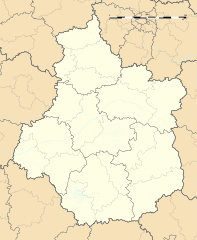
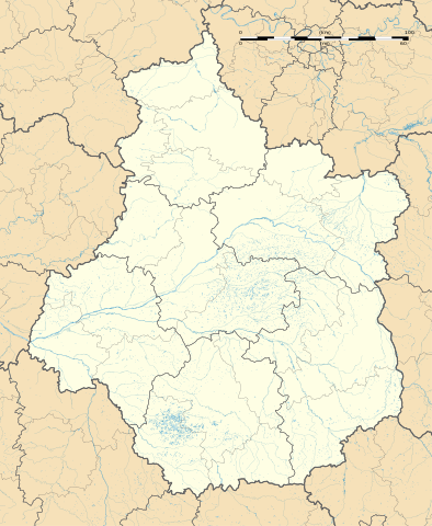
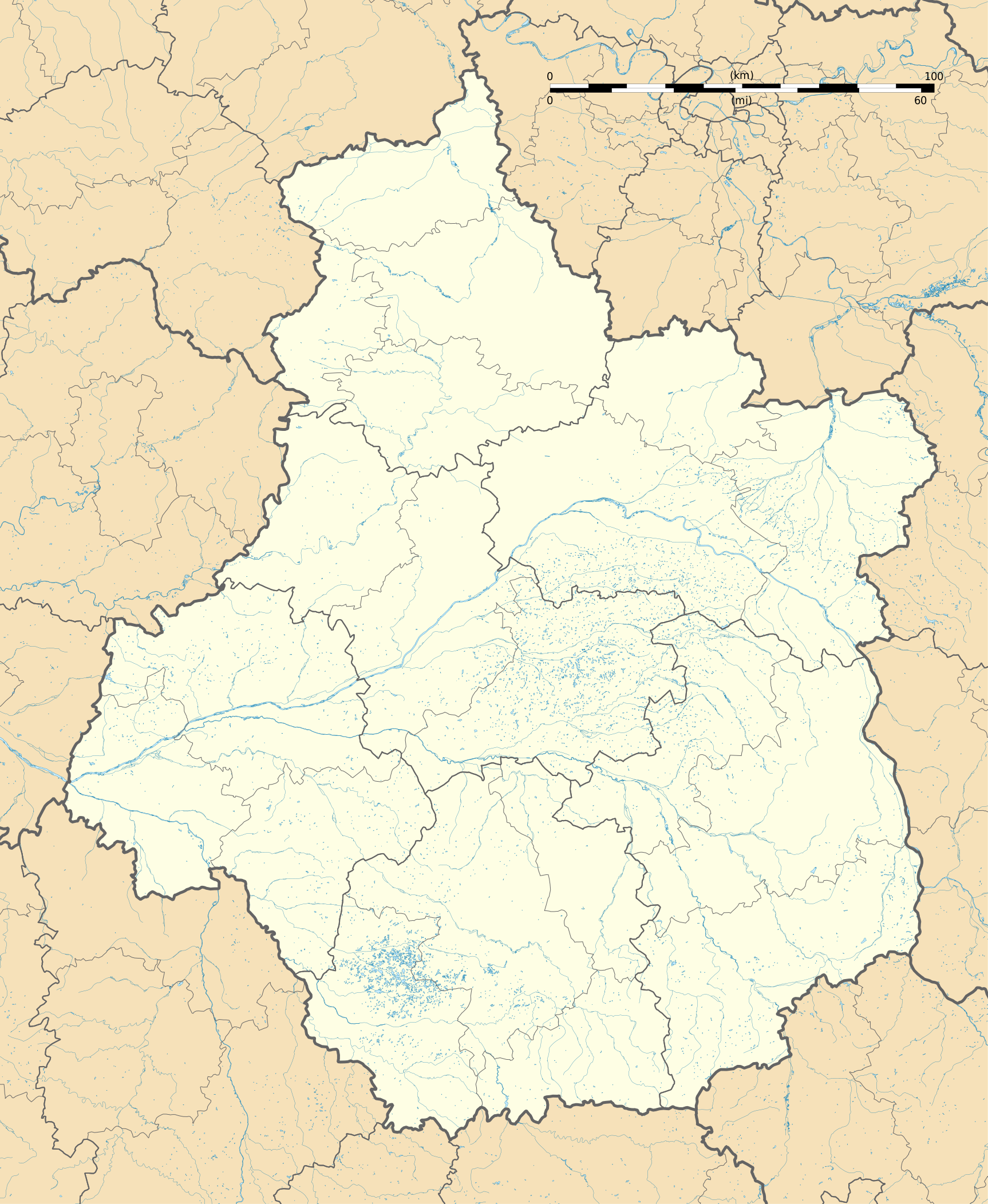
Français : Carte administrative vierge de la région Centre-Val de Loire, France, destinée à la géolocalisation. Projection "Géoportail" (projection équirectangulaire à la latitude de référence 46.5° Nord)
|
| 日期 | |
| 來源 |
自己作品
|
| 作者 | Flappiefh |
| Other versions |
|
| SVG genesis |

協議
我,呢份作品嘅作者,決定用以下許可發佈呢件作品:
This file is licensed under the Creative Commons Attribution-Share Alike 4.0 International license.
- 你可以:
- 去分享 – 複製、發佈同傳播呢個作品
- 再改 – 創作演繹作品
- 要遵照下面嘅條件:
- 署名 – 你一定要畀合適嘅表彰、畀返指向呢個授權條款嘅連結,同埋寫明有無改過嚟。你可以用任何合理方式去做,但唔可以用任何方式暗示授權人認可咗你或者你嘅使用方式。
- 相同方式分享 – 如果你用任何方式改過呢個作品,你必須要用返原本或者相似嘅條款發佈。
檔案歷史
撳個日期/時間去睇響嗰個時間出現過嘅檔案。
| 日期/時間 | 縮圖 | 尺寸 | 用戶 | 註解 | |
|---|---|---|---|---|---|
| 現時 | 2015年10月13號 (二) 16:57 | | 1,726 × 2,104(4.32 MB) | Flappiefh | User created page with UploadWizard |
檔案用途
多過100版用到呢個檔。 下面嘅表只係列示咗用到呢個檔案嘅最頭100版。 一個完整嘅一覽喺度。
- Achères, Cher
- Ainay-le-Vieil
- Allogny
- Allouis
- Annoix
- Apremont-sur-Allier
- Arcomps
- Ardenais
- Argent-sur-Sauldre
- Argenvières
- Arpheuilles, Cher
- Arçay, Cher
- Assigny, Cher
- Aubigny-sur-Nère
- Aubinges
- Augy-sur-Aubois
- Avord
- Azy, Cher
- Bannay, Cher
- Bannegon
- Barlieu
- Baugy, Cher
- Beddes
- Beffes
- Belleville-sur-Loire
- Bengy-sur-Craon
- Berry-Bouy
- Bessais-le-Fromental
- Blancafort, Cher
- Blet
- Boulleret
- Bouzais
- Brinay, Cher
- Brinon-sur-Sauldre
- Bruère-Allichamps
- Brécy, Cher
- Bussy, Cher
- Bué
- Cerbois
- Chalivoy-Milon
- Chambon, Cher
- Charenton-du-Cher
- Charentonnay
- Charly, Cher
- Chassy, Cher
- Chaumont, Cher
- Chaumoux-Marcilly
- Chavannes, Cher
- Chezal-Benoît
- Chârost
- Châteaumeillant
- Châteauneuf-sur-Cher
- Chéry
- Civray, Cher
- Clémont
- Cogny, Cher
- Colombiers, Cher
- Concressault
- Contres, Cher
- Cornusse
- Corquoy
- Couargues
- Cours-les-Barres
- Coust
- Couy
- Croisy
- Crosses, Cher
- Crézancy-en-Sancerre
- Crézançay-sur-Cher
- Cuffy, Cher
- Culan
- Dampierre-en-Crot
- Dampierre-en-Graçay
- Drevant
- Dun-sur-Auron
- Ennordres
- Farges-Allichamps
- Farges-en-Septaine
- Faverdines
- Feux
- Flavigny, Cher
- Foëcy
- Fussy
- Gardefort
- Garigny
- Genouilly, Cher
- Germigny-l'Exempt
- La Celette
- La Celle, Cher
- La Celle-Condé
- La Chapelle-Hugon
- La Chapelle-Montlinard
- La Chapelle-Saint-Ursin
- La Chapelle-d'Angillon
- La Chapelotte
- Le Chautay
- Le Châtelet
- Les Aix-d'Angillon
- Épineuil-le-Fleuriel
- Étréchy, Cher
去睇連到呢個檔案嘅更多連結。
全域檔案使用情況
下面嘅維基都用緊呢個檔案:
- als.wikipedia.org嘅使用情況
- azb.wikipedia.org嘅使用情況
- bn.wikipedia.org嘅使用情況
- de.wikipedia.org嘅使用情況
- Wikipedia:Kartenwerkstatt/Positionskarten/Europa
- Flughafen Tours
- Flughafen Châteauroux
- Stade de la Vallée du Cher
- Stade Gaston Petit
- Stade Jules-Ladoumègue
- Pont Jacques Gabriel
- ZooParc de Beauval
- Militärflugplatz Châteaudun
- Flugplatz Romorantin-Pruniers
- Vorlage:Positionskarte Frankreich Centre-Val de Loire
- Pont Wilson (Tours)
- el.wikipedia.org嘅使用情況
- en.wikipedia.org嘅使用情況
- Tours
- Chinon
- Chenonceaux
- Orléans
- Bourges
- Blois
- Chartres
- Montrichard
- Malesherbes, Loiret
- Vendôme
- Amboise
- Valençay
- Saint-Brisson-sur-Loire
- Azay-le-Rideau
- Beaulieu-sur-Loire
- La Chapelle-Saint-Sépulcre
- Courtenay, Loiret
- Saint-Aignan-le-Jaillard
- Dreux
- Patay, Loiret
- Châteauroux
- Nohant-Vic
- La Chapelle-d'Angillon
- Sully-sur-Loire
- Vouvray
- Le Grand-Pressigny
睇呢個檔案嘅更多全域使用情況。