File:France base map 18 regions.png
原本檔案 (2,215 × 2,048 像素,檔案大細:482 KB ,MIME類型:image/png)
摘要
| 描述 |
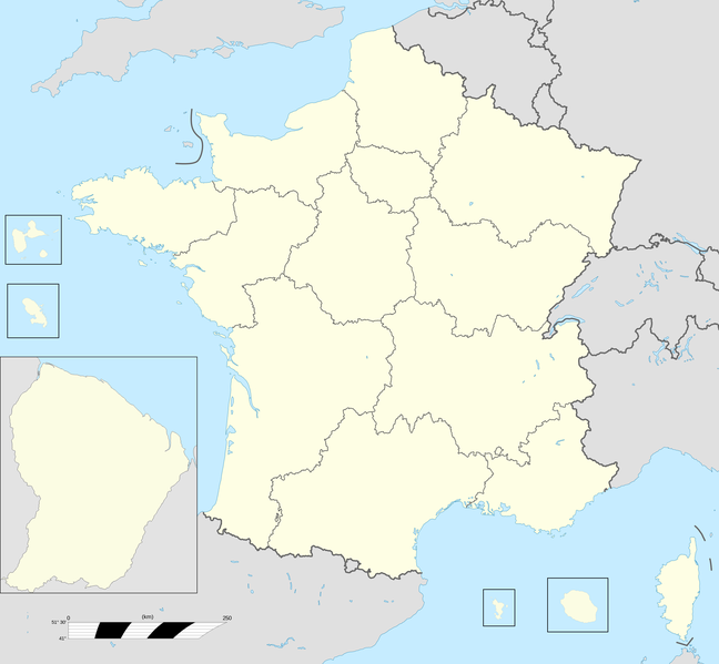
English: Base map of France with 18 regions. |
||
| 日期 | |||
| 來源 |
自己作品; This file was derived from: France fond de carte 27 régions.png |
||
| 作者 | User:Chessrat, User:Rosss, User:Sting | ||
| Other versions |
|

協議
呢個檔案用共享創意 姓名標示-非商業性-相同方式分享3.0 未本地化版本條款授權。
- 你可以:
- 去分享 – 複製、發佈同傳播呢個作品
- 再改 – 創作演繹作品
- 要遵照下面嘅條件:
- 署名 – 你一定要畀合適嘅表彰、畀返指向呢個授權條款嘅連結,同埋寫明有無改過嚟。你可以用任何合理方式去做,但唔可以用任何方式暗示授權人認可咗你或者你嘅使用方式。
- 相同方式分享 – 如果你用任何方式改過呢個作品,你必須要用返原本或者相似嘅條款發佈。
Original upload log
The original description page was here. All following user names refer to en.wikipedia.
| 日期/時間 | 尺寸 | 用戶 | 註解 |
|---|---|---|---|
| 2015-12-28 12:54 | 2215×2048× (493061 bytes) | Chessrat | Base map of France with 18 regions. Modified from [[File:France fond de carte 27 régions.png]] by [[User:Rosss]]. |
檔案歷史
撳個日期/時間去睇響嗰個時間出現過嘅檔案。
| 日期/時間 | 縮圖 | 尺寸 | 用戶 | 註解 | |
|---|---|---|---|---|---|
| 現時 | 2016年7月10號 (日) 16:22 |  | 2,215 × 2,048(482 KB) | Kudelski | Transferred from en.wikipedia |
檔案用途
以下嘅1版用到呢個檔:
全域檔案使用情況
下面嘅維基都用緊呢個檔案:
- ar.wikipedia.org嘅使用情況
- ast.wikipedia.org嘅使用情況
- azb.wikipedia.org嘅使用情況
- bn.wikipedia.org嘅使用情況
- ca.wikipedia.org嘅使用情況
- en.wikipedia.org嘅使用情況
- Regions of France
- Administrative divisions of France
- Ranked list of French regions
- France
- Template:France Regions Labelled Map
- Football rivalries in France
- Politics of country subdivisions
- Outline of France
- Talk:France/Archive 5
- User:Liam987/sandbox
- List of French regions and overseas collectivities by GDP
- Talk:France/Archive 7
- en.wikibooks.org嘅使用情況
- es.wikipedia.org嘅使用情況
睇呢個檔案嘅更多全域使用情況。