File:France location map-Regions and departements-2016.svg

呢個「SVG」檔案嘅呢個「PNG」預覽嘅大細:624 × 600 像素。 第啲解像度:250 × 240 像素|499 × 480 像素|799 × 768 像素|1,066 × 1,024 像素|2,131 × 2,048 像素|2,000 × 1,922 像素。
原本檔案 (SVG檔案,表面大細: 2,000 × 1,922 像素,檔案大細:551 KB)
摘要
| 描述 |
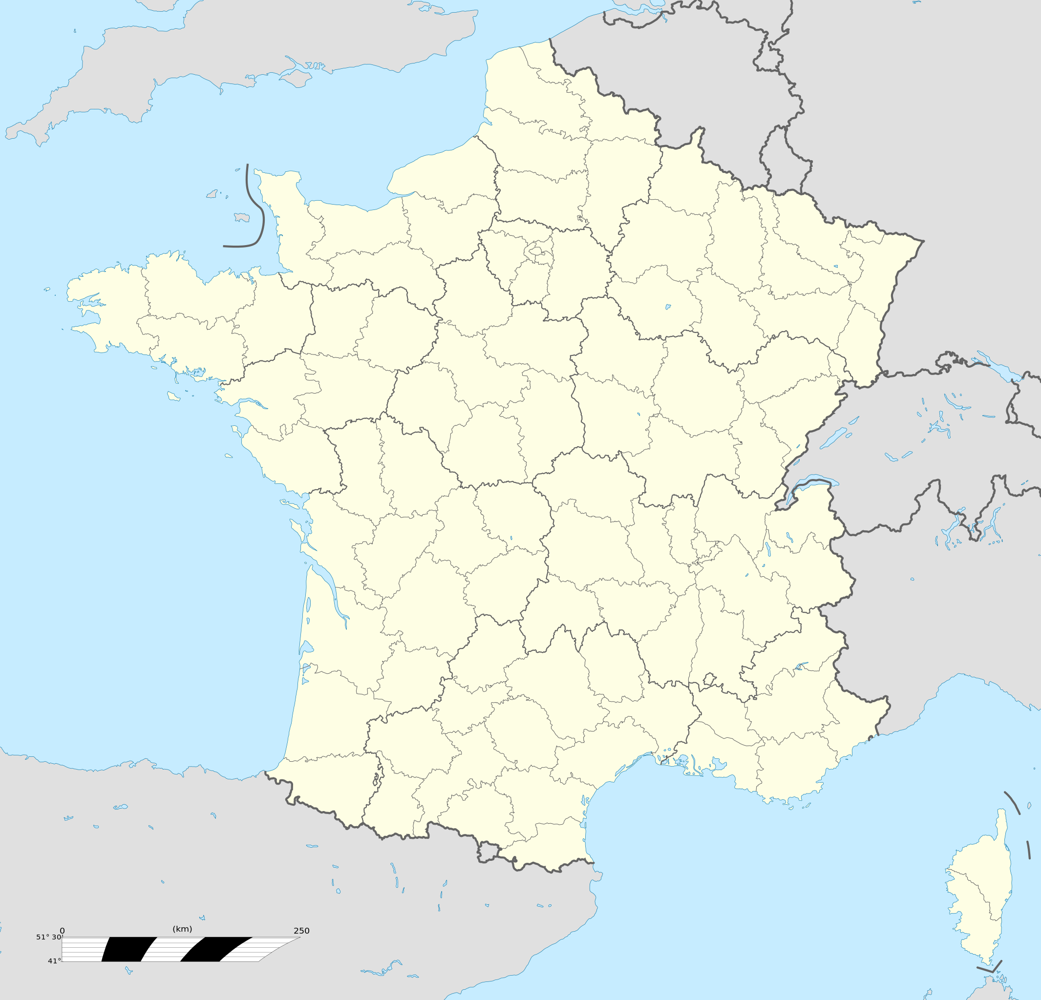
Français : Carte administrative vierge de la France destinée à la géolocalisation, avec régions et départements distingués.
Échelle approximative : 1:3 000 000
English: Blank administrative map of France for geo-location purpose, with regions and departements distinguished.
Approximate scale : 1:3,000,000
Projection équirectangulaire, données WGS84
Limites géographiques de la carte :
|
| 日期 | |
| 來源 |
This file was derived from: France location map-Regions and departements-2015.svg |
| 作者 | Superbenjamin |
| Other versions |
|
| SVG genesis | This locator map was created with Adobe Illustrator, and with Inkscape. This locator map uses embedded text/digits. |

協議
我,呢份作品嘅作者,決定用以下許可發佈呢件作品:
This file is licensed under the Creative Commons Attribution-Share Alike 4.0 International license.
- 你可以:
- 去分享 – 複製、發佈同傳播呢個作品
- 再改 – 創作演繹作品
- 要遵照下面嘅條件:
- 署名 – 你一定要畀合適嘅表彰、畀返指向呢個授權條款嘅連結,同埋寫明有無改過嚟。你可以用任何合理方式去做,但唔可以用任何方式暗示授權人認可咗你或者你嘅使用方式。
- 相同方式分享 – 如果你用任何方式改過呢個作品,你必須要用返原本或者相似嘅條款發佈。
檔案歷史
撳個日期/時間去睇響嗰個時間出現過嘅檔案。
| 日期/時間 | 縮圖 | 尺寸 | 用戶 | 註解 | |
|---|---|---|---|---|---|
| 現時 | 2017年10月19號 (四) 13:46 | | 2,000 × 1,922(551 KB) | Sting | No borders over the Lake of Constance |
| 2016年1月2號 (六) 09:11 |  | 2,000 × 1,922(546 KB) | Superbenjamin | User created page with UploadWizard |
檔案用途
多過100版用到呢個檔。 下面嘅表只係列示咗用到呢個檔案嘅最頭100版。 一個完整嘅一覽喺度。
- Abbécourt
- Achery
- Acy
- Agnicourt-et-Séchelles
- Aguilcourt
- Aisonville-et-Bernoville
- Aizelles
- Aizy-Jouy
- Alaincourt, Aisne
- Allemant, Aisne
- Ambleny
- Ambléon
- Ambrief
- Ambronay
- Ambutrix
- Ambérieu-en-Bugey
- Ambérieux-en-Dombes
- Amifontaine
- Amigny-Rouy
- Ancienville
- Andelain
- Anguilcourt-le-Sart
- Anizy-le-Grand
- Annois
- Any-Martin-Rieux
- Arandas
- Archon
- Arcy-Sainte-Restitue
- Armentières-sur-Ourcq
- Arrancy
- Artemps
- Assis-sur-Serre
- Athies-sous-Laon
- Attilly
- Aubencheul-aux-Bois
- Aubenton
- Aubigny-aux-Kaisnes
- Aubigny-en-Laonnois
- Audignicourt
- Audigny
- Augy, Aisne
- Aulnois-sous-Laon
- Autremencourt
- Autreppes
- Autreville, Aisne
- Azy-sur-Marne
- Bagneux, Aisne
- Bancigny
- Barenton-Bugny
- Barenton-Cel
- Barenton-sur-Serre
- L'Abergement-Clémenciat
- L'Abergement-de-Varey
- Les Autels
- Montagnieu, Ain
- 亞桑蒲坊
- 伊斯特勒
- 依
- 博格斯
- 卡卡桑
- 吉貝爾堡
- 囊爹
- 塞尼 (黃金丘)
- 奧西都哈斯
- 孔東
- 安古蘭
- 尚波蜜仙妮
- 尼依聖佐治
- 巴拉依
- 布蒙
- 布里夫拉蓋亞爾德
- 拉度華榭軒爾
- 拉羅謝爾
- 拉達
- 摩希聖丹尼
- 普利尼夢夏雪
- 柏朗華哲麗詩
- 桑坦尼
- 榭斐香貝丹
- 沙勒維爾-梅濟耶爾
- 沙曼
- 沙特爾
- 沙維尼布蒙
- 法蘭西維爾 (黃金丘)
- 特魯華
- 玻瑪
- 第戎
- 納博訥
- 索恩河畔沙隆
- 聖圖班
- 聖熱姆拉普萊訥
- 聖羅曼
- 莎珊夢夏雪
- 莫素
- 菲珊
- 蒙地卡羅
- 蒙泰利
- 蘇希布蒙
- 蜜仙妮
- 阿勒
去睇連到呢個檔案嘅更多連結。
全域檔案使用情況
下面嘅維基都用緊呢個檔案:
- af.wikipedia.org嘅使用情況
- Rugbywêreldbeker 1999
- Mont-Saint-Michel
- Quimperlé
- Dinard
- Camembert (dorp)
- Dives-sur-Mer
- Deauville
- Crécy-en-Ponthieu
- Cannes
- Villeneuve-d'Ascq
- Antibes
- Menton
- Lascaux
- Rennes-le-Château
- Aigues-Mortes
- Cluny
- La Grande-Motte
- Grasse
- Avranches
- Saint-Jean-Cap-Ferrat
- Honfleur
- Monte Carlo
- Villefranche-sur-Saône
- Arles
- Saint-Dié-des-Vosges
- Vannes
- Pontivy
- Cassis
- Neuf-Brisach
- Val Thorens
- Indre
- Neuilly-sur-Seine
- Nanterre
- Millau
- Chamonix-Mont-Blanc
- Gourdon (Alpes-Maritimes)
- Le Faou
- La Roque-Gageac
- Riquewihr
- Locronan
- Eus
- Châteauneuf-du-Pape
- Arcachon
- Saint-Jean-de-Luz
- Apt (Vaucluse)
- Auray
- Nancy
- Rugbywêreldbeker 2007
- Lens, Pas-de-Calais
- Mont Ventoux
睇呢個檔案嘅更多全域使用情況。