File:Israel and arab states map.png
冇更高解像度嘅圖像。
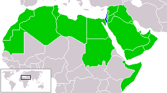
Israel_and_arab_states_map.png (336 × 188 像素,檔案大細:11 KB ,MIME類型:image/png)
zfdsde
| This work has been released into the public domain by its author, Humus sapiens. This applies worldwide. In some countries this may not be legally possible; if so: |
檔案歷史
撳個日期/時間去睇響嗰個時間出現過嘅檔案。
| 日期/時間 | 縮圖 | 尺寸 | 用戶 | 註解 | |
|---|---|---|---|---|---|
| 現時 | 2018年3月18號 (日) 21:51 | | 336 × 188(11 KB) | Maphobbyist | Reverted to version as of 14:02, 9 July 2011 (UTC) |
| 2017年1月21號 (六) 12:15 |  | 336 × 188(23 KB) | عادل | correction of Egypt borders | |
| 2011年7月9號 (六) 14:02 |  | 336 × 188(11 KB) | Maphobbyist | South Sudan has become independent on July 9, 2011. Sudan and South Sudan are shown with the new international border between them. | |
| 2005年4月20號 (三) 23:23 |  | 336 × 188(9 KB) | Ondrejk | {{GFDL}} Based on Image:BlankMap-World.png copied from EN Wiki |
檔案用途
以下嘅1版用到呢個檔:
全域檔案使用情況
下面嘅維基都用緊呢個檔案:
- en.wikipedia.org嘅使用情況
- eo.wikipedia.org嘅使用情況
- hu.wikipedia.org嘅使用情況
- id.wikipedia.org嘅使用情況
- ko.wikipedia.org嘅使用情況
- min.wikipedia.org嘅使用情況
- no.wikipedia.org嘅使用情況
- pl.wikipedia.org嘅使用情況
- sk.wikipedia.org嘅使用情況