File:Japan Kanto Region large.png
原本檔案 (1,397 × 1,593 像素,檔案大細:79 KB ,MIME類型:image/png)
摘要
| 描述 | Large size map of Japan with Kanto region highlighted, self made but originally based on a japanese mapbook. |
| 日期 | 2005年10月16號 (original upload date) |
| 來源 | No machine-readable source provided. Own work assumed (based on copyright claims). |
| 作者 | No machine-readable author provided. Ningyou assumed (based on copyright claims). |
協議
| I, the copyright holder of this work, release this work into the public domain. This applies worldwide. In some countries this may not be legally possible; if so: I grant anyone the right to use this work for any purpose, without any conditions, unless such conditions are required by law. |
檔案歷史
撳個日期/時間去睇響嗰個時間出現過嘅檔案。
| 日期/時間 | 縮圖 | 尺寸 | 用戶 | 註解 | |
|---|---|---|---|---|---|
| 現時 | 2005年10月22號 (六) 12:06 | 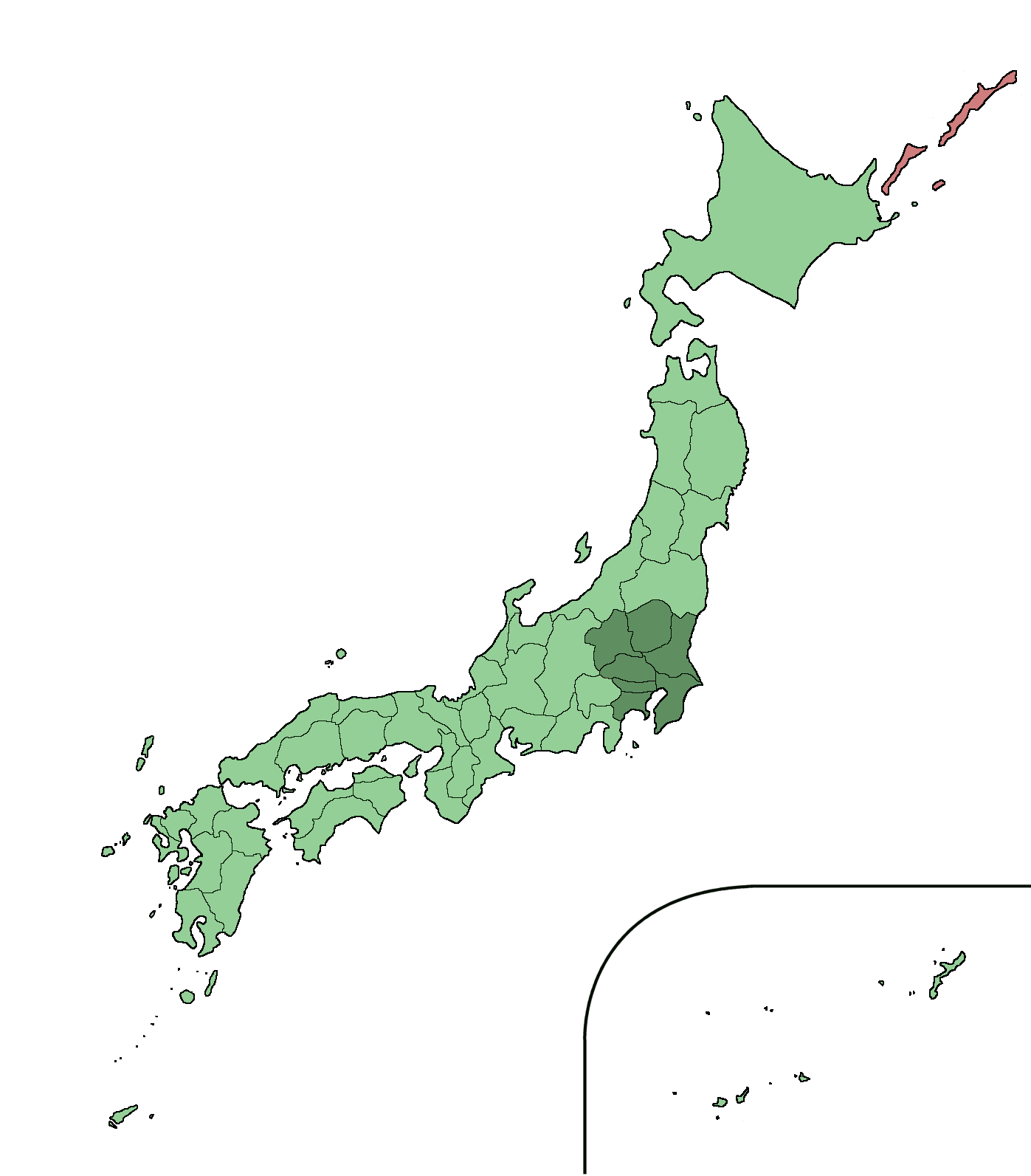 | 1,397 × 1,593(79 KB) | Ningyou | Large size map of Japan with Kanto region highlighted, self made but originally based on a japanese mapbook. Category:Maps of Japan |
| 2005年10月22號 (六) 12:00 |  | 1,397 × 1,593(79 KB) | Ningyou | Large size map of Japan with Hokkaido highlighted, self made but originally based on a japanese mapbook. Category:Maps of Japan | |
| 2005年10月16號 (日) 15:45 |  | 1,397 × 1,593(80 KB) | Ningyou | Large size map of Japan with Kanto region highlighted, self made but originally based on a japanese mapbook. Category:Maps of Japan |
檔案用途
以下嘅1版用到呢個檔:
全域檔案使用情況
下面嘅維基都用緊呢個檔案:
- ar.wikipedia.org嘅使用情況
- ast.wikipedia.org嘅使用情況
- azb.wikipedia.org嘅使用情況
- az.wikipedia.org嘅使用情況
- bn.wikipedia.org嘅使用情況
- ca.wikipedia.org嘅使用情況
- ckb.wikipedia.org嘅使用情況
- cy.wikipedia.org嘅使用情況
- da.wikipedia.org嘅使用情況
- de.wikipedia.org嘅使用情況
- el.wikipedia.org嘅使用情況
- en.wikipedia.org嘅使用情況
- en.wiktionary.org嘅使用情況
- eo.wikipedia.org嘅使用情況
- es.wikipedia.org嘅使用情況
- eu.wikipedia.org嘅使用情況
- fa.wikipedia.org嘅使用情況
- fi.wikipedia.org嘅使用情況
- fr.wikipedia.org嘅使用情況
- fr.wiktionary.org嘅使用情況
- ga.wikipedia.org嘅使用情況
- gl.wikipedia.org嘅使用情況
- hak.wikipedia.org嘅使用情況
- he.wikipedia.org嘅使用情況
- hi.wikipedia.org嘅使用情況
- hr.wikipedia.org嘅使用情況
- hu.wikipedia.org嘅使用情況
- hy.wikipedia.org嘅使用情況
- ilo.wikipedia.org嘅使用情況
- ja.wikipedia.org嘅使用情況
- ja.wiktionary.org嘅使用情況
- ka.wikipedia.org嘅使用情況
- ko.wikipedia.org嘅使用情況
- ko.wiktionary.org嘅使用情況
- mk.wikipedia.org嘅使用情況
- mr.wikipedia.org嘅使用情況
- nn.wikipedia.org嘅使用情況
- no.wikipedia.org嘅使用情況
- oc.wikipedia.org嘅使用情況
- pam.wikipedia.org嘅使用情況
- pl.wikipedia.org嘅使用情況
- pnb.wikipedia.org嘅使用情況
睇呢個檔案嘅更多全域使用情況。