File:Madagascar sat.png
預覽大細:320 × 599 像素。 第啲解像度:256 × 480 像素|876 × 1,640 像素。
原本檔案 (876 × 1,640 像素,檔案大細:1.45 MB ,MIME類型:image/png)
摘要
| 描述 | |
| 日期 | 未知日期 |
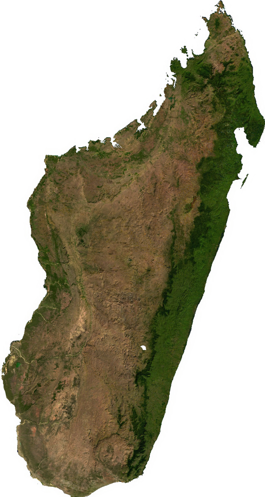
| 來源 | Generated using free sources available at The Map Library |
| 作者 |
協議
| This file is in the public domain, because it was generated by a user, using free sources available at The Map Library.
Note that this does not include the maps in the Global Administrative Areas section of the homepage. |
檔案歷史
撳個日期/時間去睇響嗰個時間出現過嘅檔案。
| 日期/時間 | 縮圖 | 尺寸 | 用戶 | 註解 | |
|---|---|---|---|---|---|
| 現時 | 2006年7月14號 (五) 02:31 | | 876 × 1,640(1.45 MB) | Unquietwiki | ECW to TIFF to PNG (compression level 9). {{PD-MapLibrary}} |
檔案用途
以下嘅1版用到呢個檔:
全域檔案使用情況
下面嘅維基都用緊呢個檔案:
- ar.wikipedia.org嘅使用情況
- ast.wikipedia.org嘅使用情況
- bcl.wikipedia.org嘅使用情況
- bg.wikipedia.org嘅使用情況
- bn.wikipedia.org嘅使用情況
- en.wikipedia.org嘅使用情況
- fr.wikipedia.org嘅使用情況
- it.wikipedia.org嘅使用情況
- ka.wikipedia.org嘅使用情況
- lt.wikipedia.org嘅使用情況
- mg.wikipedia.org嘅使用情況
- my.wikipedia.org嘅使用情況
- pnb.wikipedia.org嘅使用情況
- pt.wikipedia.org嘅使用情況
- ro.wikipedia.org嘅使用情況
- sl.wikipedia.org嘅使用情況
- th.wikipedia.org嘅使用情況
- tl.wikipedia.org嘅使用情況
- uk.wikipedia.org嘅使用情況
- ur.wikipedia.org嘅使用情況
- vec.wikipedia.org嘅使用情況
- www.wikidata.org嘅使用情況
- yo.wikipedia.org嘅使用情況
- zh.wikipedia.org嘅使用情況