File:Malaysia location map.svg

呢個「SVG」檔案嘅呢個「PNG」預覽嘅大細:800 × 305 像素。 第啲解像度:320 × 122 像素|640 × 244 像素|1,024 × 390 像素|1,280 × 487 像素|2,560 × 975 像素|1,200 × 457 像素。
原本檔案 (SVG檔案,表面大細: 1,200 × 457 像素,檔案大細:499 KB)
摘要
| 描述 |
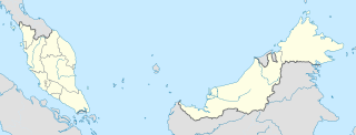
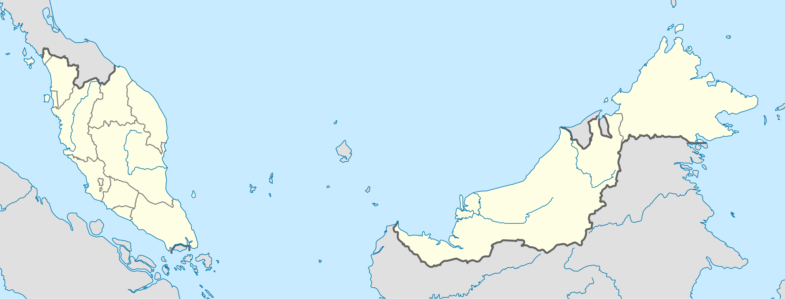
English: Location map of Malaysia.
Equirectangular projection. Strechted by 100.0%. Geographic limits of the map: * N: 8.0° N * S: 0.0° N * W: 99.0° E * E: 120.0° EMade with Natural Earth. Free vector and raster map data @ naturalearthdata.com. |
| 日期 | |
| 來源 | 自己作品 |
| 作者 | Uwe Dedering |
| Other versions |
|
協議
I, the copyright holder of this work, hereby publish it under the following licenses:
呢個檔案用共享創意 姓名標示-非商業性-相同方式分享3.0 未本地化版本條款授權。
- 你可以:
- 去分享 – 複製、發佈同傳播呢個作品
- 再改 – 創作演繹作品
- 要遵照下面嘅條件:
- 署名 – 你一定要畀合適嘅表彰、畀返指向呢個授權條款嘅連結,同埋寫明有無改過嚟。你可以用任何合理方式去做,但唔可以用任何方式暗示授權人認可咗你或者你嘅使用方式。
- 相同方式分享 – 如果你用任何方式改過呢個作品,你必須要用返原本或者相似嘅條款發佈。

|
根據自由軟體基金會發佈嘅無固定段落、封面文字同封底文字GNU自由文件授權條款第1.2或打後嘅版本,你獲授權可以重製、散佈同埋修改爾份文件。授權條款嘅副本喺章節GNU自由文件授權條款。 |
你可以揀你想用嘅牌照。
檔案歷史
撳個日期/時間去睇響嗰個時間出現過嘅檔案。
| 日期/時間 | 縮圖 | 尺寸 | 用戶 | 註解 | |
|---|---|---|---|---|---|
| 現時 | 2010年2月22號 (一) 13:45 | 1,200 × 457(499 KB) | Uwe Dedering | complete new version with right projection and colors | |
| 2009年7月18號 (六) 23:31 | 1,170 × 400(540 KB) | Mdzafri | more detailed map. | ||
| 2009年2月9號 (一) 16:38 | 1,171 × 400(558 KB) | Doctor Dodge | resized to 400 x 1170 | ||
| 2009年2月9號 (一) 14:43 | 3,000 × 1,025(558 KB) | Doctor Dodge | {{Information |Description={{en|1=Location map for Malaysia}} |Source=Own work by uploader |Author=Doctor Dodge |Date=9 febbraio 2009 |Permission= |other_versions= }} <!--{{ImageUpload|full}}--> Category:Location maps of Asia |
檔案用途
以下嘅30版用到呢個檔:
全域檔案使用情況
下面嘅維基都用緊呢個檔案:
- ace.wikipedia.org嘅使用情況
- af.wikipedia.org嘅使用情況
- an.wikipedia.org嘅使用情況
- ar.wikipedia.org嘅使用情況
- ast.wikipedia.org嘅使用情況
- Gran Premiu de Malasia de 2007
- Gran Premiu de Malasia de 2006
- Gran Premiu de Malasia de 2008
- Torres Petronas
- Menara Telekom
- Kuala Lumpur
- Aeropuertu Internacional de Penang - Malasia
- Putrajaya
- George Town
- Petaling Jaya
- Estadiu Nacional Bukit Jalil
- Península de Malaca
- Estrechu de Singapur
- Estrechu de Johor
- Torre de Kuala Lumpur
- Kuching
- Ipoh
- Malasia Peninsular
- Alor Setar
- Kota Kinabalu
- Johor Bahru
- Módulu:Mapa de llocalización/datos/Malasia
- Módulu:Mapa de llocalización/datos/Malasia/usu
- Aeropuertu Internacional de Kuala Lumpur
- Sepang
- Circuitu Internacional de Sepang
- Aeropuertu de Tawau
- Puertu de Johor
- Puertu de Kemaman
- Semporna
- Islla Tengah
- azb.wikipedia.org嘅使用情況
- az.wikipedia.org嘅使用情況
睇呢個檔案嘅更多全域使用情況。