File:Map of California highlighting Lassen County.svg

呢個「SVG」檔案嘅呢個「PNG」預覽嘅大細:521 × 599 像素。 第啲解像度:209 × 240 像素|417 × 480 像素|668 × 768 像素|891 × 1,024 像素|1,781 × 2,048 像素|9,164 × 10,536 像素。
原本檔案 (SVG檔案,表面大細: 9,164 × 10,536 像素,檔案大細:229 KB)
摘要
| 描述 |
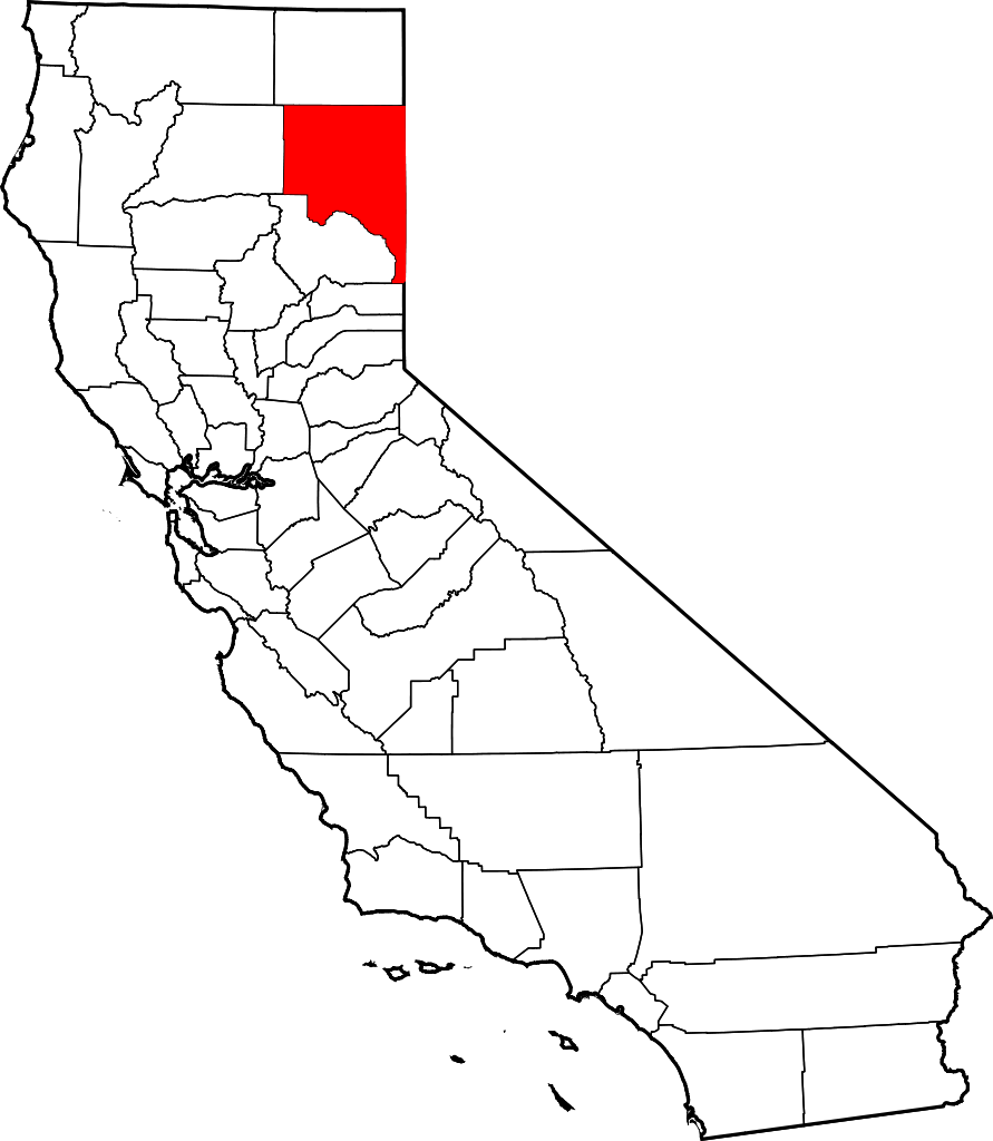
English: This is a locator map showing Lassen County in California. For more information, see Commons:United States county locator maps. |
| 日期 | |
| 來源 |
自己作品: English: The maps use data from nationalatlas.gov, specifically countyp020.tar.gz on the Raw Data Download page. The maps also use state outline data from statesp020.tar.gz. The Florida maps use hydrogm020.tar.gz to display Lake Okeechobee. |
| 作者 | David Benbennick |
協議
| I, the copyright holder of this work, release this work into the public domain. This applies worldwide. In some countries this may not be legally possible; if so: I grant anyone the right to use this work for any purpose, without any conditions, unless such conditions are required by law. |
檔案歷史
撳個日期/時間去睇響嗰個時間出現過嘅檔案。
| 日期/時間 | 縮圖 | 尺寸 | 用戶 | 註解 | |
|---|---|---|---|---|---|
| 現時 | 2006年2月12號 (日) 10:26 | | 9,164 × 10,536(229 KB) | David Benbennick | {{subst:User:Dbenbenn/clm|county=Lassen County|state=California}} |
檔案用途
以下嘅1版用到呢個檔:
全域檔案使用情況
下面嘅維基都用緊呢個檔案:
- ar.wikipedia.org嘅使用情況
- arz.wikipedia.org嘅使用情況
- az.wikipedia.org嘅使用情況
- ban.wikipedia.org嘅使用情況
- bpy.wikipedia.org嘅使用情況
- ca.wikipedia.org嘅使用情況
- ceb.wikipedia.org嘅使用情況
- ce.wikipedia.org嘅使用情況
- cs.wikipedia.org嘅使用情況
- cy.wikipedia.org嘅使用情況
- da.wikipedia.org嘅使用情況
- de.wikipedia.org嘅使用情況
- en.wikipedia.org嘅使用情況
- List of counties in California
- Lassen County, California
- Susanville, California
- Westwood, California
- Bieber, California
- Doyle, Lassen County, California
- Herlong, California
- Ravendale, California
- Janesville, California
- Template:Lassen County, California
- Termo, California
- Category:Wikipedia requested photographs in Lassen County, California
- Hallelujah Junction, California
- Leavitt, California
- Big Valley, Lassen County, California
- National Register of Historic Places listings in Lassen County, California
- Buntingville, California
- Standish, California
- User:Nyttend/County templates/CA/1
睇呢個檔案嘅更多全域使用情況。