File:Munster locator map.svg

呢個「SVG」檔案嘅呢個「PNG」預覽嘅大細:459 × 599 像素。 第啲解像度:184 × 240 像素|368 × 480 像素|589 × 768 像素|785 × 1,024 像素|1,570 × 2,048 像素|1,264 × 1,649 像素。
原本檔案 (SVG檔案,表面大細: 1,264 × 1,649 像素,檔案大細:592 KB)
摘要
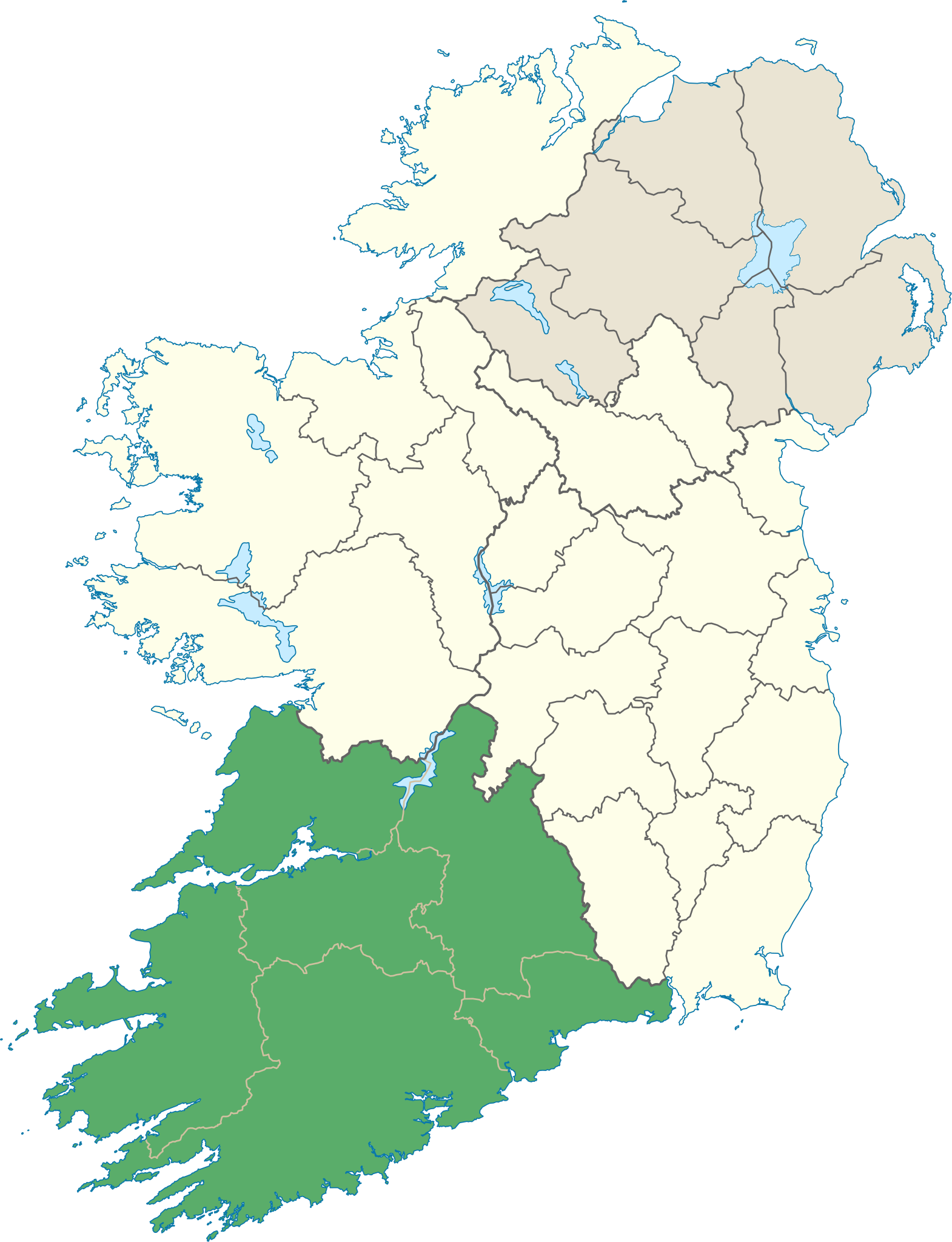
| 描述 | Locator map of Munster. |
| 日期 | (UTC) |
| 來源 | |
| 作者 |
|
協議
我,呢份作品嘅作者,決定用以下許可發佈呢件作品:
呢個檔案用共享創意 姓名標示-非商業性-相同方式分享3.0 未本地化版本條款授權。
- 你可以:
- 去分享 – 複製、發佈同傳播呢個作品
- 再改 – 創作演繹作品
- 要遵照下面嘅條件:
- 署名 – 你一定要畀合適嘅表彰、畀返指向呢個授權條款嘅連結,同埋寫明有無改過嚟。你可以用任何合理方式去做,但唔可以用任何方式暗示授權人認可咗你或者你嘅使用方式。
- 相同方式分享 – 如果你用任何方式改過呢個作品,你必須要用返原本或者相似嘅條款發佈。
檔案歷史
撳個日期/時間去睇響嗰個時間出現過嘅檔案。
| 日期/時間 | 縮圖 | 尺寸 | 用戶 | 註解 | |
|---|---|---|---|---|---|
| 現時 | 2013年6月8號 (六) 14:25 | | 1,264 × 1,649(592 KB) | Setanta Saki | correcting aran islands not part of munster |
| 2012年1月7號 (六) 19:47 |  | 1,450 × 1,807(687 KB) | NikNaks | Removing modern boundaries | |
| 2012年1月7號 (六) 18:16 |  | 1,450 × 1,807(707 KB) | NikNaks | Updating to new map | |
| 2012年1月7號 (六) 17:53 |  | 400 × 500(281 KB) | NikNaks93 | == {{int:filedesc}} == {{Information |Description=Locator map of Munster. |Source=*File:Ireland_trad_counties_named.svg |Date=2012-01-07 17:50 (UTC) |Author=*File:Ireland_trad_counties_named.svg: *[[:File:Population_density_of_Ireland_map2002. |
檔案用途
以下嘅1版用到呢個檔:
全域檔案使用情況
下面嘅維基都用緊呢個檔案:
- be.wikipedia.org嘅使用情況
- cs.wikipedia.org嘅使用情況
- da.wikipedia.org嘅使用情況
- en.wikipedia.org嘅使用情況
- Munster
- MacGillycuddy's Reeks
- List of Ireland-related topics
- Carrauntoohil
- Lists of mountains in Ireland
- Silvermine Mountains
- Mount Brandon
- Slievecallan
- Sugarloaf (County Cork)
- Hungry Hill
- Mullaghareirk Mountains
- Galtymore
- Slievenamon
- Shehy Mountains
- Caha Mountains
- Knockmealdown Mountains
- Ballyhoura Mountains
- An Triúr Deirféar
- Knockmealdown
- Sugarloaf Hill (Knockmealdowns)
- Torc Mountain
- Mullaghanish
- Devil's Bit
- Knockboy
- Mountains of the Central Dingle Peninsula
- Purple Mountain (Kerry)
- Mullaghmore, County Clare
- Slieve Mish Mountains
- Slieve Miskish Mountains
- Mangerton Mountain
- Cnoc na Péiste
- Baurtregaum
- Fauscoum
- Keeper Hill
- Seefin (Ballyhoura Mountains)
- Carron Mountain
- Knockoura
- Boggeragh Mountains
- Comeragh Mountains
- Slieve Aughty
- Geokaun
- Bentee
- Derrynasaggart Mountains
- Mount Gabriel
- Croughaun Hill
- Caherconree
- Temple Hill (Ireland)
睇呢個檔案嘅更多全域使用情況。