File:Ngongping360 sameboat.png
冇更高解像度嘅圖像。
Ngongping360_sameboat.png (412 × 490 像素,檔案大細:28 KB ,MIME類型:image/png)
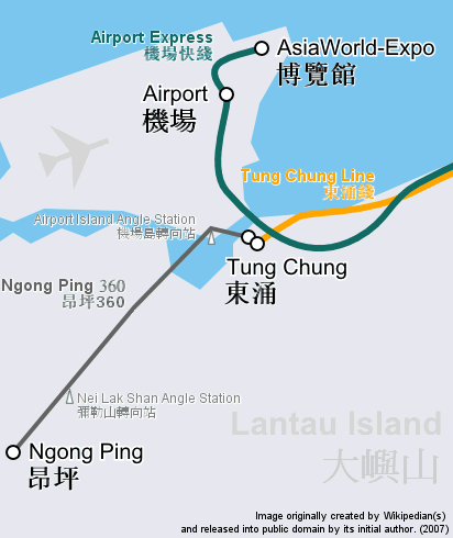
| 描述 | Route map focusing on Hong Kong cable car Ngong Ping 360 and the nearby railway system, in geographically accurate scale. | ||
| 日期 | |||
| 來源 | Cropped and revised from image:Hong Kong Railway Route Map en.svg | ||
| 作者 | user:Sameboat | ||
| 許可 (重用呢個檔案) |
|
||
| Other versions | Image:Ngongping360 map.png & Image:NgongPing360 map.jpg |
檔案歷史
撳個日期/時間去睇響嗰個時間出現過嘅檔案。
| 日期/時間 | 縮圖 | 尺寸 | 用戶 | 註解 | |
|---|---|---|---|---|---|
| 現時 | 2007年12月26號 (三) 10:37 | | 412 × 490(28 KB) | Sameboat | {{Information |Description= |Source= |Date= |Author= |Permission= |other_versions= }} |
| 2007年12月14號 (五) 11:30 |  | 412 × 490(28 KB) | Sameboat | {{Information |Description=Route map focusing on Hong Kong cable car Ngong Ping 360 and the nearby railway system, in geographically accurate scale. |Source=Cropped and revised from image:Hong Kong Railway Route Map en.svg |Date=December, 2007 |Aut |
檔案用途
以下嘅1版用到呢個檔:
全域檔案使用情況
下面嘅維基都用緊呢個檔案:
- bcl.wikipedia.org嘅使用情況
- de.wikipedia.org嘅使用情況
- en.wikipedia.org嘅使用情況
- he.wikipedia.org嘅使用情況
- sk.wikipedia.org嘅使用情況
- zh.wikipedia.org嘅使用情況