File:Senaga Island 20091027-gsi.jpg
原本檔案 (1,500 × 1,500 像素,檔案大細:357 KB ,MIME類型:image/jpeg)
摘要
| 描述 |
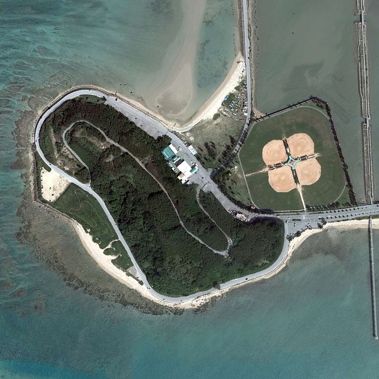
English: Senaga Island, Tomigusuku, Okinawa, Japan.
|
| 日期 | |
| 來源 | http://mapps.gsi.go.jp/contentsImageDisplay.do?specificationId=515682 |
| 作者 |
English: Geospatial Information Authority of Japan
日本語: 国土地理院 |
協議

|
我,Ministry of Land, Infrastructure, Transport and Tourism,呢個檔案嘅版權持有者,歡迎任何人係任何目的之下用呢幅圖。你可以改作、甚至用係商業用途都可以。 |
姓名標示:
National Land Image Information (Color Aerial Photographs), created by Ministry of Land, Infrastructure, Transport and Tourism, distributed by Geospatial Information Authority of Japan
|

檔案歷史
撳個日期/時間去睇響嗰個時間出現過嘅檔案。
| 日期/時間 | 縮圖 | 尺寸 | 用戶 | 註解 | |
|---|---|---|---|---|---|
| 現時 | 2015年7月20號 (一) 13:05 |  | 1,500 × 1,500(357 KB) | Kugel~commonswiki | =={{int:filedesc}}== {{Information |description={{en|1=Senaga Island, Tomigusuku, Okinawa, Japan.}} {{ja|1=瀬長島 国土交通省の地図・空中写真閲覧サービスを元に作成。 *整理番号 COK20091 *撮影年月日 2009年10月27日... |
檔案用途
以下嘅1版用到呢個檔:
全域檔案使用情況
下面嘅維基都用緊呢個檔案:
- ja.wikipedia.org嘅使用情況
- tl.wikipedia.org嘅使用情況
- www.wikidata.org嘅使用情況
- zh-min-nan.wikipedia.org嘅使用情況
- zh.wikipedia.org嘅使用情況