File:Springfield-MA.jpg
預覽大細:800 × 475 像素。 第啲解像度:320 × 190 像素|640 × 380 像素|1,134 × 674 像素。
原本檔案 (1,134 × 674 像素,檔案大細:125 KB ,MIME類型:image/jpeg)
摘要
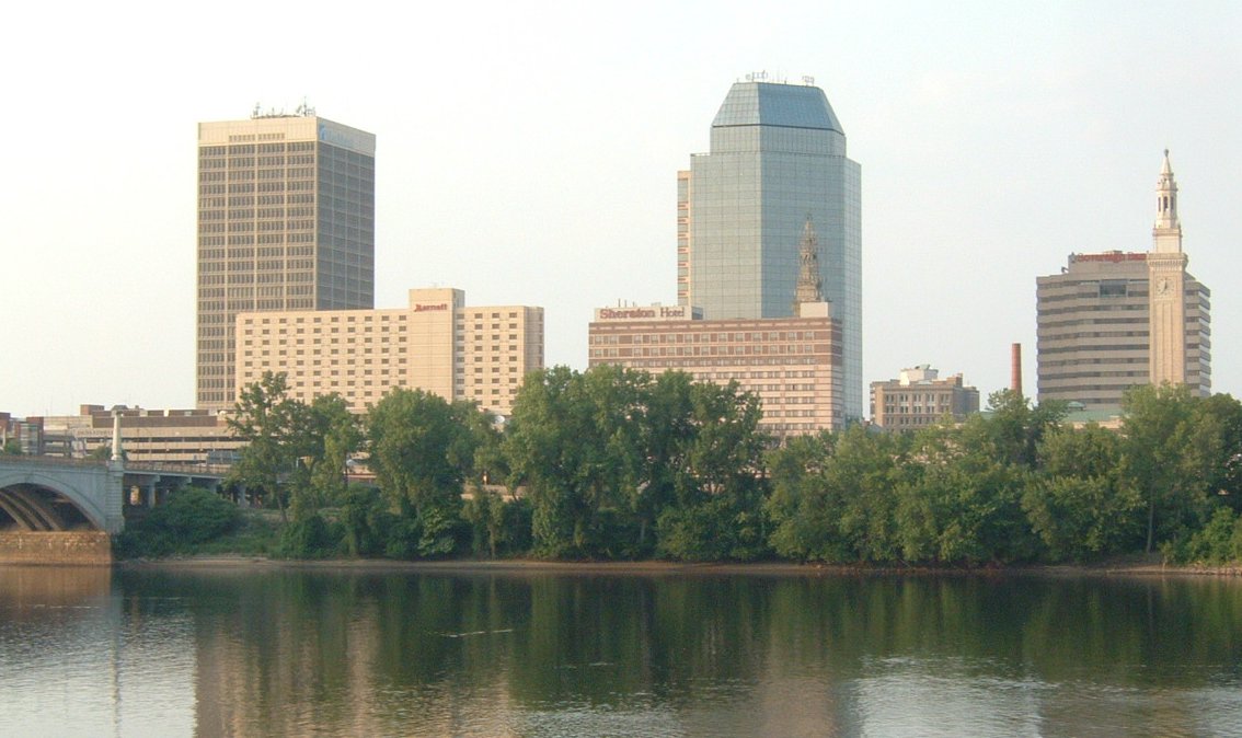
| 描述 | Springfield, Ma, USA skyline |
| 日期 | |
| 來源 | 自己作品 |
| 作者 | Ironass |
| Camera location | | View this and other nearby images on: OpenStreetMap |
|---|
協議
| This work has been released into the public domain by its author, I, Ironass. This applies worldwide. In some countries this may not be legally possible; if so: I, Ironass grants anyone the right to use this work for any purpose, without any conditions, unless such conditions are required by law. |
檔案歷史
撳個日期/時間去睇響嗰個時間出現過嘅檔案。
| 日期/時間 | 縮圖 | 尺寸 | 用戶 | 註解 | |
|---|---|---|---|---|---|
| 現時 | 2007年6月18號 (一) 01:20 | | 1,134 × 674(125 KB) | Ironass | {{Information |Description=Springfield, Ma, USA skyline |Source=self-made |Date=06-17-07 |Author= Ironass }} |
檔案用途
以下嘅1版用到呢個檔:
全域檔案使用情況
下面嘅維基都用緊呢個檔案:
- af.wikipedia.org嘅使用情況
- br.wikipedia.org嘅使用情況
- cs.wikipedia.org嘅使用情況
- cv.wikipedia.org嘅使用情況
- en.wikipedia.org嘅使用情況
- es.wikipedia.org嘅使用情況
- fi.wikipedia.org嘅使用情況
- fo.wikipedia.org嘅使用情況
- id.wikipedia.org嘅使用情況
- io.wikipedia.org嘅使用情況
- it.wikipedia.org嘅使用情況
- lv.wikipedia.org嘅使用情況
- ml.wikipedia.org嘅使用情況
- nn.wikipedia.org嘅使用情況
- pt.wikipedia.org嘅使用情況
- sh.wikipedia.org嘅使用情況
- sk.wikipedia.org嘅使用情況
- sr.wikipedia.org嘅使用情況
- sw.wikipedia.org嘅使用情況
- tr.wikipedia.org嘅使用情況
- uk.wikipedia.org嘅使用情況
- uz.wikipedia.org嘅使用情況
- zh.wikipedia.org嘅使用情況