File:Taiwan location map.svg

呢個「SVG」檔案嘅呢個「PNG」預覽嘅大細:499 × 600 像素。 第啲解像度:200 × 240 像素|399 × 480 像素|639 × 768 像素|852 × 1,024 像素|1,704 × 2,048 像素|1,016 × 1,221 像素。
原本檔案 (SVG檔案,表面大細: 1,016 × 1,221 像素,檔案大細:121 KB)

|
This file requires updating. In doing so, you could add a timestamp to the file.
|

|
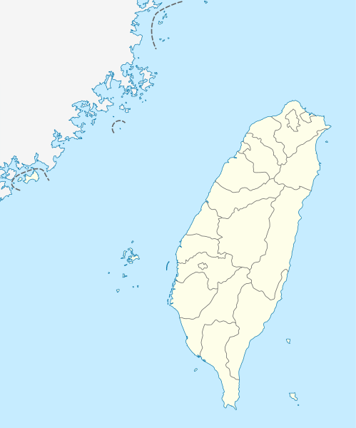
The boundaries on this map show the de facto situation. This is just one of several different views on the subject (see COM:NPOV). |
摘要
| 描述 |
Quadratische Plattkarte, N-S-Streckung 110 %. Geographische Begrenzung der Karte:
Equirectangular projection, N/S stretching 110 %. Geographic limits of the map:
|
| 日期 | |
| 來源 | own work, using United States National Imagery and Mapping Agency data |
| 作者 | NordNordWest |

|
This map has been made or improved in the German Kartenwerkstatt (Map Lab). You can propose maps to improve as well.
|
協議
I, the copyright holder of this work, hereby publish it under the following licenses:

|
根據自由軟體基金會發佈嘅無固定段落、封面文字同封底文字GNU自由文件授權條款第1.2或打後嘅版本,你獲授權可以重製、散佈同埋修改爾份文件。授權條款嘅副本喺章節GNU自由文件授權條款。 |
呢個檔案用共享創意 姓名標示-非商業性-相同方式分享3.0 未本地化版本條款授權。
- 你可以:
- 去分享 – 複製、發佈同傳播呢個作品
- 再改 – 創作演繹作品
- 要遵照下面嘅條件:
- 署名 – 你一定要畀合適嘅表彰、畀返指向呢個授權條款嘅連結,同埋寫明有無改過嚟。你可以用任何合理方式去做,但唔可以用任何方式暗示授權人認可咗你或者你嘅使用方式。
- 相同方式分享 – 如果你用任何方式改過呢個作品,你必須要用返原本或者相似嘅條款發佈。
你可以揀你想用嘅牌照。
檔案歷史
撳個日期/時間去睇響嗰個時間出現過嘅檔案。
| 日期/時間 | 縮圖 | 尺寸 | 用戶 | 註解 | |
|---|---|---|---|---|---|
| 現時 | 2011年8月22號 (一) 11:15 | | 1,016 × 1,221(121 KB) | NordNordWest | minor corrections |
| 2011年7月19號 (二) 11:54 |  | 1,016 × 1,222(166 KB) | Bencmq | Reverted to the version before dispute | |
| 2011年7月19號 (二) 09:46 |  | 1,016 × 1,222(156 KB) | JOSH tw | You did not answer my query. If you would like to use this file on global website of wiki commons, you have to consider different concepts in order to keep it neutral | |
| 2011年7月19號 (二) 07:24 |  | 1,016 × 1,221(121 KB) | NordNordWest | You can upload a new file if you want to, but don't change the status that is shown here. Next revert -> COM:V | |
| 2011年7月19號 (二) 04:20 |  | 1,016 × 1,222(156 KB) | JOSH tw | If Kosovo as an UN unreconignized state can be shown on distinct appearance with Serbia, there is unreasonable to treat each other differently... especially P.R.China has never ruled Taiwan at any period of history | |
| 2011年7月18號 (一) 21:59 |  | 1,016 × 1,221(121 KB) | NordNordWest | please don't change the political status shown in this map | |
| 2011年7月18號 (一) 20:23 |  | 1,016 × 1,222(156 KB) | JOSH tw | Fixed map, political divisions have changed | |
| 2011年6月3號 (五) 16:54 |  | 1,016 × 1,221(127 KB) | NordNordWest | please don't change the political status shown in this map | |
| 2011年6月3號 (五) 13:19 |  | 1,016 × 1,222(156 KB) | Energiya | Fix the border of Matsu(Dongyin) and Kinmen (Dadan, Erdan, Wuqiu) see the page of Matsu Island and Kinmen. | |
| 2010年12月28號 (二) 17:19 |  | 1,016 × 1,222(166 KB) | NordNordWest | wrong upd |
檔案用途
全域檔案使用情況
下面嘅維基都用緊呢個檔案:
- af.wikipedia.org嘅使用情況
- an.wikipedia.org嘅使用情況
- ar.wikipedia.org嘅使用情況
- ast.wikipedia.org嘅使用情況
- Taiwán
- Taipei 101
- Taipéi
- Nuevu Taipéi
- Keelung
- Taoyuan
- Taichung
- Muséu Nacional del Palaciu
- Islles Pescadores
- Módulu:Mapa de llocalización/datos/República de China
- Módulu:Mapa de llocalización/datos/Taiwán
- Módulu:Mapa de llocalización/datos/República de China/usu
- Aeropuertu Internacional de Taiwán Taoyuan
- Puertu de Kaohsiung
- Puertu de Taipéi
- az.wikipedia.org嘅使用情況
- ba.wikipedia.org嘅使用情況
- bcl.wikipedia.org嘅使用情況
- be.wikipedia.org嘅使用情況
- bg.wikipedia.org嘅使用情況
- bn.wikipedia.org嘅使用情況
- bs.wikipedia.org嘅使用情況
- ceb.wikipedia.org嘅使用情況
睇呢個檔案嘅更多全域使用情況。