File:Ting Kau Bridge 0604.JPG
預覽大細:800 × 600 像素。 第啲解像度:320 × 240 像素|640 × 480 像素|1,024 × 768 像素。
原本檔案 (1,024 × 768 像素,檔案大細:339 KB ,MIME類型:image/jpeg)
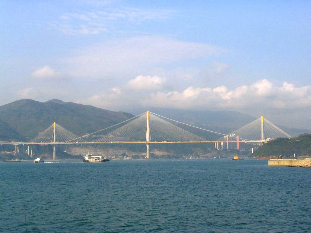
| 描述 | 汀九橋 Ting Kau Bridge |
| 日期 | |
| 來源 | 自己作品 |
| 作者 | Baycrest |
| 許可 (重用呢個檔案) |
我,呢份作品嘅作者,決定用以下許可發佈呢件作品: This file is licensed under the Creative Commons Attribution-Share Alike 2.5 Generic license.
|
| Camera location | | View this and other nearby images on: OpenStreetMap |
|---|
檔案歷史
撳個日期/時間去睇響嗰個時間出現過嘅檔案。
| 日期/時間 | 縮圖 | 尺寸 | 用戶 | 註解 | |
|---|---|---|---|---|---|
| 現時 | 2010年6月10號 (四) 22:05 | | 1,024 × 768(339 KB) | Glabb | edit contrast, colors |
| 2007年5月19號 (六) 17:47 |  | 1,024 × 768(72 KB) | Baycrest | {{Information |Description=汀九橋 Ting Kau Bridge |Source=Own work |Date=Apr 2006 |Author=me ([http://zh.wikipedia.org/wiki/User:Baycrest Baycrest]) |Permission={{self|cc-by-sa-2.5}} |other_versions= }} Category:Ting Kau Bridge |
檔案用途
以下嘅1版用到呢個檔:
全域檔案使用情況
下面嘅維基都用緊呢個檔案:
- en.wikipedia.org嘅使用情況
- es.wikipedia.org嘅使用情況
- fr.wikipedia.org嘅使用情況
- id.wikipedia.org嘅使用情況
- it.wikipedia.org嘅使用情況
- sk.wikipedia.org嘅使用情況
- vi.wikipedia.org嘅使用情況
- wuu.wikipedia.org嘅使用情況
- zh-classical.wikipedia.org嘅使用情況
- zh.wikipedia.org嘅使用情況