File:USA Oregon location map.svg

呢個「SVG」檔案嘅呢個「PNG」預覽嘅大細:784 × 600 像素。 第啲解像度:314 × 240 像素|628 × 480 像素|1,004 × 768 像素|1,280 × 979 像素|2,560 × 1,958 像素|1,501 × 1,148 像素。
原本檔案 (SVG檔案,表面大細: 1,501 × 1,148 像素,檔案大細:410 KB)
摘要
| 描述 |
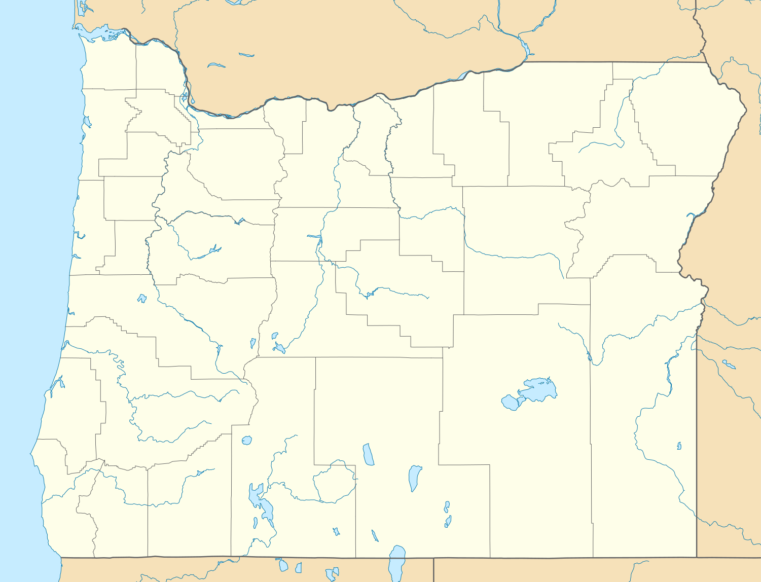
Quadratische Plattkarte, N-S-Streckung 140.0 %. Geographische Begrenzung der Karte:
Equirectangular projection, N/S stretching 140.0 %. Geographic limits of the map:
|
| 日期 | |
| 來源 | 自己作品 |
| 作者 | Alexrk2 |
| Other versions |
Derivative works of this file: |

|
This map has been made or improved in the German Kartenwerkstatt (Map Lab). You can propose maps to improve as well.
|
協議
I, the copyright holder of this work, hereby publish it under the following licenses:

|
根據自由軟體基金會發佈嘅無固定段落、封面文字同封底文字GNU自由文件授權條款第1.2或打後嘅版本,你獲授權可以重製、散佈同埋修改爾份文件。授權條款嘅副本喺章節GNU自由文件授權條款。 |
Ĉi tiu dosiero estas disponebla laŭ la permesilo Krea Komunaĵo Atribuite 3.0 Neadaptita.
- 你可以:
- 去分享 – 複製、發佈同傳播呢個作品
- 再改 – 創作演繹作品
- 要遵照下面嘅條件:
- 署名 – 你一定要畀合適嘅表彰、畀返指向呢個授權條款嘅連結,同埋寫明有無改過嚟。你可以用任何合理方式去做,但唔可以用任何方式暗示授權人認可咗你或者你嘅使用方式。
你可以揀你想用嘅牌照。
檔案歷史
撳個日期/時間去睇響嗰個時間出現過嘅檔案。
| 日期/時間 | 縮圖 | 尺寸 | 用戶 | 註解 | |
|---|---|---|---|---|---|
| 現時 | 2009年9月6號 (日) 21:25 | | 1,501 × 1,148(410 KB) | Alexrk2 | fixed rivers |
| 2009年9月6號 (日) 21:19 |  | 1,501 × 1,148(411 KB) | Alexrk2 | == Beschreibung == {{Information |Description= {{de|Positionskarte von Oregon, USA}} Quadratische Plattkarte, N-S-Streckung 140.0 %. Geographische Begrenzung der Karte: * N: 46.5° N * S: 41.8° N * W: 124.9° W * O: 116.3° W { |
檔案用途
以下嘅1版用到呢個檔:
全域檔案使用情況
下面嘅維基都用緊呢個檔案:
- af.wikipedia.org嘅使用情況
- an.wikipedia.org嘅使用情況
- ar.wikipedia.org嘅使用情況
- azb.wikipedia.org嘅使用情況
- سیلم، اورقن
- پالینا، اورقن
- تترو، اورقن
- قلاسقو، اورقن
- ماونت هود، اورقن
- تمبر، اورقن
- براین، اورقن
- لاورلوود، اورقن
- بلای، اورقن
- جول، اورقن
- کرابتری، اورقن
- فیراوکس، اورقن
- تومالو، اورقن
- آنکس، اورقن
- بتنی، اورقن
- دیلی، اورقن
- مولینو، اورقن
- دیلارد، اورقن
- سونت ماونتین، اورقن
- لاکومب، اورقن
- پرانقهورن، اورقن
- کرین، اورقن
- دیز کریک، اورقن
- کسکدیا، اورقن
- وارن، اورقن
- اوتیس، اورقن
- کریسمس ولی، اورقن
- آیداویل، اورقن
- سامر لیک، اورقن
- فرنچقلن، اورقن
- اینترلاکن، اورقن
- بیورکریک، اورقن
- میچم، اورقن
- استافورد، اورقن
- لنقلویز، اورقن
- فیلدز، اورقن
- وست اسکیو، اورقن
- نسیکا بیچ، اورقن
- جفرز قاردن، اورقن
- سانریور، اورقن
- پیوریا، اورقن
- میپلتن، اورقن
- بول ماونتین، اورقن
睇呢個檔案嘅更多全域使用情況。