File:Wiltshire UK locator map 2010.svg

呢個「SVG」檔案嘅呢個「PNG」預覽嘅大細:494 × 600 像素。 第啲解像度:198 × 240 像素|395 × 480 像素|633 × 768 像素|843 × 1,024 像素|1,687 × 2,048 像素|1,108 × 1,345 像素。
原本檔案 (SVG檔案,表面大細: 1,108 × 1,345 像素,檔案大細:302 KB)
摘要
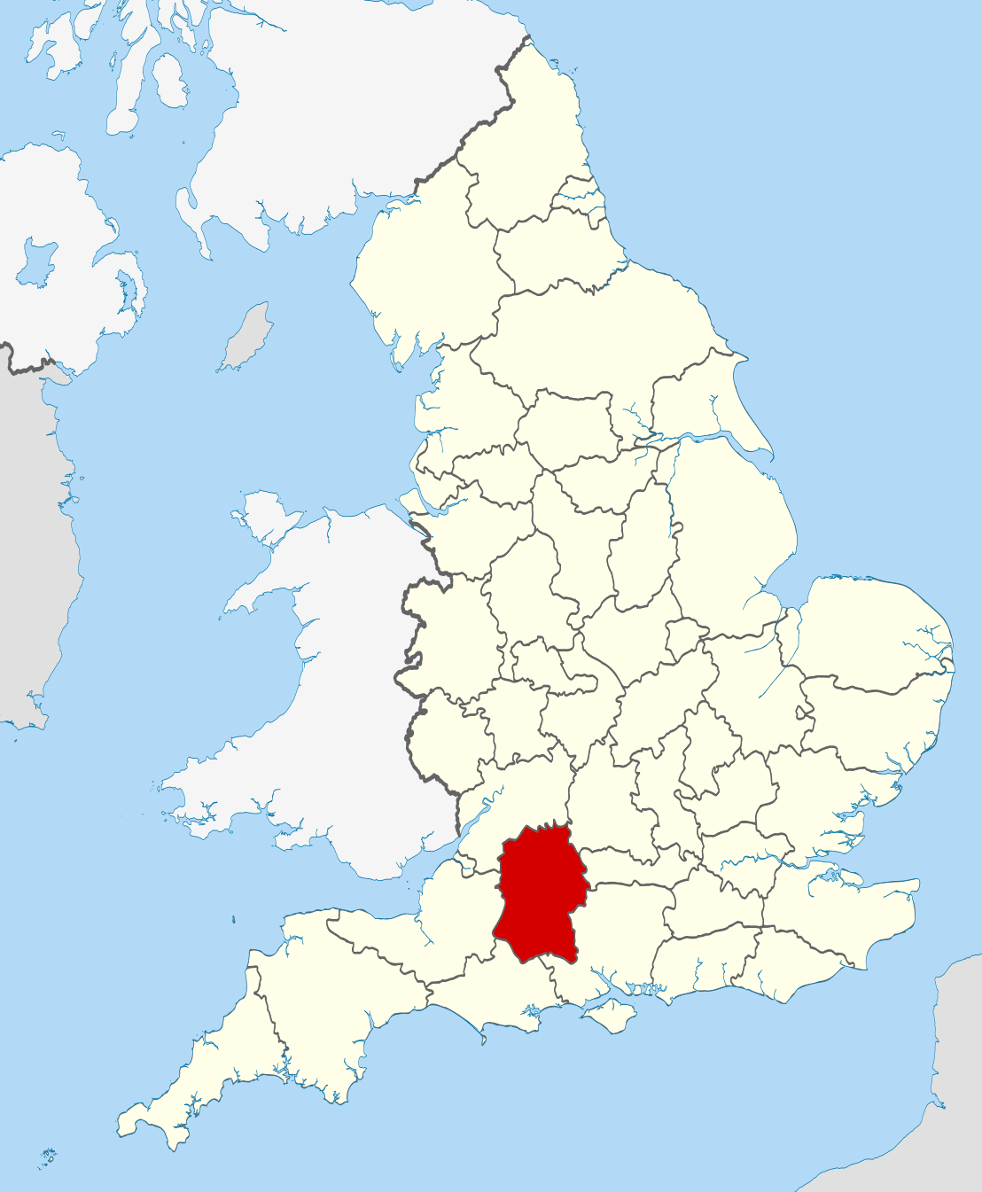
| 描述 | Location of the ceremonial county of Wiltshire within England. |
| 日期 | |
| 來源 |
National Geospatial-Intelligence Agency
|
| 作者 | Nilfanion |
| SVG genesis | This W3C-invalid vector image was created with unknown tool. |
協議
I, the copyright holder of this work, hereby publish it under the following licenses:
呢個檔案用共享創意 姓名標示-非商業性-相同方式分享3.0 未本地化版本條款授權。
- 你可以:
- 去分享 – 複製、發佈同傳播呢個作品
- 再改 – 創作演繹作品
- 要遵照下面嘅條件:
- 署名 – 你一定要畀合適嘅表彰、畀返指向呢個授權條款嘅連結,同埋寫明有無改過嚟。你可以用任何合理方式去做,但唔可以用任何方式暗示授權人認可咗你或者你嘅使用方式。
- 相同方式分享 – 如果你用任何方式改過呢個作品,你必須要用返原本或者相似嘅條款發佈。

|
根據自由軟體基金會發佈嘅無固定段落、封面文字同封底文字GNU自由文件授權條款第1.2或打後嘅版本,你獲授權可以重製、散佈同埋修改爾份文件。授權條款嘅副本喺章節GNU自由文件授權條款。 |
你可以揀你想用嘅牌照。

|
This is one of the images forming part of the Valued image set: Locator maps of the Ceremonial counties of England on Wikimedia Commons. The image set has been assessed under the valued image set criteria and is considered the most valued set on Commons within the scope:
Locator maps of the Ceremonial counties of England
You can see its nomination at Commons:Valued image candidates/Locator maps of English ceremonial counties. |
檔案歷史
撳個日期/時間去睇響嗰個時間出現過嘅檔案。
| 日期/時間 | 縮圖 | 尺寸 | 用戶 | 註解 | |
|---|---|---|---|---|---|
| 現時 | 2010年11月23號 (二) 22:48 | | 1,108 × 1,345(302 KB) | Nilfanion | == Summary == {{Information |Description=Location of the ceremonial county of Wiltshire within England. |Source=Ordnance Survey [https://www.ordnancesurvey.co.uk/opendatadownload/products.html OpenData]: *County bound |
檔案用途
以下嘅1版用到呢個檔:
全域檔案使用情況
下面嘅維基都用緊呢個檔案:
- af.wikipedia.org嘅使用情況
- ar.wikipedia.org嘅使用情況
- ast.wikipedia.org嘅使用情況
- be-tarask.wikipedia.org嘅使用情況
- be.wikipedia.org嘅使用情況
- bg.wikipedia.org嘅使用情況
- br.wikipedia.org嘅使用情況
- ca.wikipedia.org嘅使用情況
- ceb.wikipedia.org嘅使用情況
- cs.wikipedia.org嘅使用情況
- dag.wikipedia.org嘅使用情況
- en.wikipedia.org嘅使用情況
- Wiltshire
- Brandier
- Kennet District
- North Wiltshire
- Kennet Avenue
- Beckhampton Avenue
- Broad Hinton and Winterbourne Bassett
- River Bourne, Wiltshire
- Little Woodbury
- Horpit
- Avon Valley Path
- Clarendon Way
- Old Sarum Way
- Bentley Wood
- Blackmoor Copse
- Ablington, Wiltshire
- Template:Wiltshire-geo-stub
- Queens Park, Swindon
- Brokenborough
- Goatacre
- Fonthill Lake
- Shearwater (lake)
- River Blackwater (River Test)
- River Dun (River Kennet)
- Clatford
- Stockley, Wiltshire
- Hook, Wiltshire
- Wessex Ridgeway
- Milk Hill
- Aughton, Wiltshire
- Charnage Down Chalk Pit
- Corsham Railway Cutting
- Dead Maid Quarry
- Dinton Quarry
- Dinton Railway Cutting
睇呢個檔案嘅更多全域使用情況。