File:Blankmap-ao-090S-south pole.png

預覽大細:600 × 600 像素。 第啲解像度:240 × 240 像素|480 × 480 像素|726 × 726 像素。
原本檔案 (726 × 726 像素,檔案大細:9 KB ,MIME類型:image/png)

|
This locator map image could be recreated using vector graphics as an SVG file. This has several advantages; see Commons:Media for cleanup for more information. If an SVG form of this image is already available, please upload it. After uploading an SVG, replace this template with {{vector version available|new image name.svg}}.
|
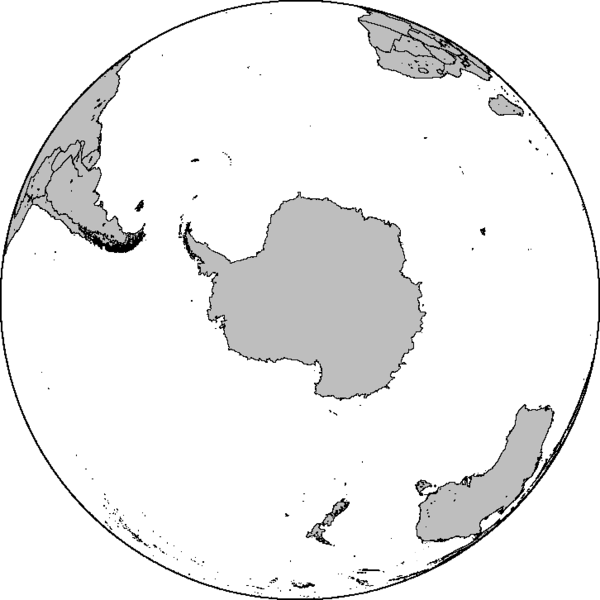
Azimuthal orthographic map projection of coords 90°S/0°.
See Image:Blankmap-ao-090S-south pole.xcf for an XCF file with separate layers for water, land, coastlines, political borders, political borders over water (not shown), and latitude & longitude gridlines (not shown).
Created by User:Reisio with GMT.
Reisio, the copyright holder of this work, hereby publishes it under the following license:
| I, the copyright holder of this work, release this work into the public domain. This applies worldwide. In some countries this may not be legally possible; if so: I grant anyone the right to use this work for any purpose, without any conditions, unless such conditions are required by law. |
檔案歷史
撳個日期/時間去睇響嗰個時間出現過嘅檔案。
| 日期/時間 | 縮圖 | 尺寸 | 用戶 | 註解 | |
|---|---|---|---|---|---|
| 現時 | 2010年2月7號 (日) 06:47 | | 726 × 726(9 KB) | Reisio | Reverted to version as of 11:36, 13 October 2005 |
| 2010年2月7號 (日) 06:46 | 無縮圖 | (307 KB) | Reisio | must I really? :p | |
| 2010年2月7號 (日) 06:43 | 無縮圖 | (81 KB) | Reisio | must I really? :p | |
| 2005年10月13號 (四) 11:36 |  | 726 × 726(9 KB) | Reisio | Created by User:Reisio with GMT.{{pd}} |
檔案用途
無嘢連來呢份檔案。