File:Canada Nunavut location map-lambert proj2.svg

呢個「SVG」檔案嘅呢個「PNG」預覽嘅大細:481 × 599 像素。 第啲解像度:193 × 240 像素|385 × 480 像素|616 × 768 像素|822 × 1,024 像素|1,643 × 2,048 像素|512 × 638 像素。
原本檔案 (SVG檔案,表面大細: 512 × 638 像素,檔案大細:2.05 MB)
摘要
| 描述 |
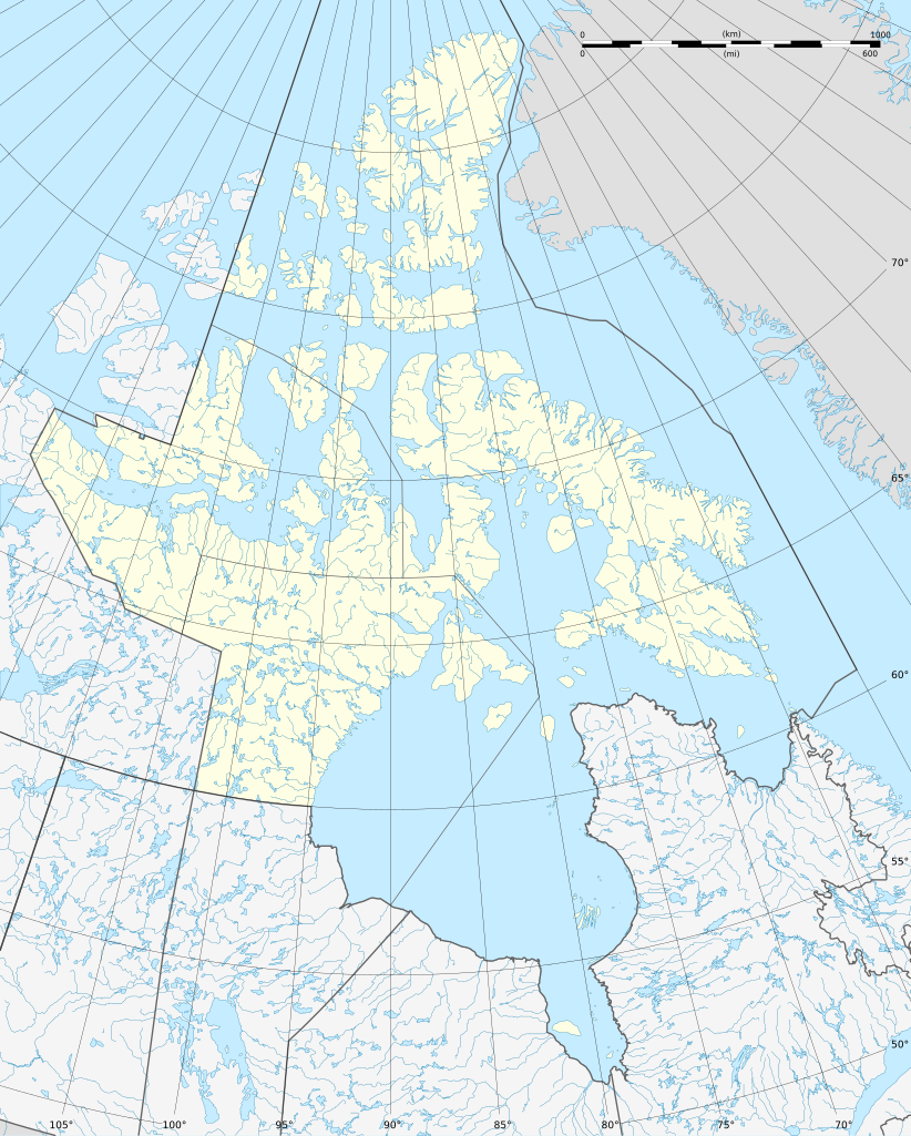
Français : Carte administrative vierge du territoire du Nunavut, Canada, destinée à la géolocalisation. Lambert conformal conic projection. |
| 日期 | |
| 來源 |
This file was derived from: Canada Nunavut location map-lambert proj.svg |
| 作者 |
|
協議
我,呢份作品嘅作者,決定用以下許可發佈呢件作品:
呢個檔案用共享創意 姓名標示-非商業性-相同方式分享3.0 未本地化版本條款授權。
- 你可以:
- 去分享 – 複製、發佈同傳播呢個作品
- 再改 – 創作演繹作品
- 要遵照下面嘅條件:
- 署名 – 你一定要畀合適嘅表彰、畀返指向呢個授權條款嘅連結,同埋寫明有無改過嚟。你可以用任何合理方式去做,但唔可以用任何方式暗示授權人認可咗你或者你嘅使用方式。
- 相同方式分享 – 如果你用任何方式改過呢個作品,你必須要用返原本或者相似嘅條款發佈。
Original upload log
This image is a derivative work of the following images:
- File:Canada_Nunavut_location_map-lambert_proj.svg licensed with Cc-by-sa-3.0
- 2012-08-06T17:34:04Z Flappiefh 512x638 (2151741 Bytes)
檔案歷史
撳個日期/時間去睇響嗰個時間出現過嘅檔案。
| 日期/時間 | 縮圖 | 尺寸 | 用戶 | 註解 | |
|---|---|---|---|---|---|
| 現時 | 2012年8月19號 (日) 08:42 | | 512 × 638(2.05 MB) | NordNordWest | == {{int:filedesc}} == {{Information |Description={{de|1=Positionskarte von Nunavut, Kanada}} {{en|1=Blank administrative map of the territory of Nunavut, [[:en:... |
檔案用途
以下嘅1版用到呢個檔:
全域檔案使用情況
下面嘅維基都用緊呢個檔案:
- be.wikipedia.org嘅使用情況
- de.wikipedia.org嘅使用情況
- Boothia
- Kanadisch-arktischer Archipel
- Iqaluit
- Frobisher-Bucht
- Belcherinseln
- Resolute Bay
- King Christian Island
- Graham Island (Nunavut)
- Alert (Nunavut)
- Barbeau Peak
- Robeson-Kanal
- Bellotstraße
- Southampton Island
- James Bay
- Parry-Inseln
- Grise Fiord
- Dubawntsee
- Nottingham Island
- Kinngait
- Whale Cove
- Rankin Inlet
- Sanikiluaq
- Flughafen Sanikiluaq
- Flughafen Rankin Inlet
- Baker Lake
- Kugluktuk
- Clyde River (Nunavut)
- Pond Inlet
- Arctic Bay
- Nanisivik
- Pangnirtung
- Cambridge Bay
- Lake Hazen
- Naujaat
- Arviat
- Qikiqtarjuaq
- Iglulik
- Kugaaruk
睇呢個檔案嘅更多全域使用情況。