File:Mairie Saint-Victor-d'Épine2.jpg
原本檔案 (1,860 × 1,585 像素,檔案大細:1.23 MB ,MIME類型:image/jpeg)
摘要
| 描述 |
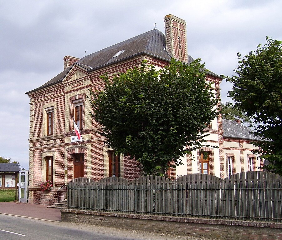
English: Town hall of Saint-Victor-d'Épine in the departement Eure in the Haute-Normandie in France.
Deutsch: Rathaus von Saint-Victor-d'Épine im Département Eure in der Haute-Normandie in Frankreich.
Français : Mairie de Saint-Victor-d'Épine dans l'Eure (27). |
| 日期 | |
| 來源 | 自己作品 |
| 作者 | Stanzilla |
| Camera location | | View this and other nearby images on: OpenStreetMap |
|---|
協議
| I, the copyright holder of this work, release this work into the public domain. This applies worldwide. In some countries this may not be legally possible; if so: I grant anyone the right to use this work for any purpose, without any conditions, unless such conditions are required by law. |
檔案歷史
撳個日期/時間去睇響嗰個時間出現過嘅檔案。
| 日期/時間 | 縮圖 | 尺寸 | 用戶 | 註解 | |
|---|---|---|---|---|---|
| 現時 | 2009年10月2號 (五) 19:45 |  | 1,860 × 1,585(1.23 MB) | Stanzilla | {{Information |Description={{en|1=Town hall of Saint-Victor-d'Épine in the departement Eure in the Haute-Normandie in France.}} {{de|1=Rathaus von Saint-Victor-d'Épine im Département Eure in der Haute-Normandie in Frankreich.}} {{fr|1=Mairie de Saint-V |
檔案用途
以下嘅1版用到呢個檔:
全域檔案使用情況
下面嘅維基都用緊呢個檔案:
- ast.wikipedia.org嘅使用情況
- ca.wikipedia.org嘅使用情況
- ceb.wikipedia.org嘅使用情況
- ce.wikipedia.org嘅使用情況
- de.wikipedia.org嘅使用情況
- es.wikipedia.org嘅使用情況
- eu.wikipedia.org嘅使用情況
- fr.wikipedia.org嘅使用情況
- hu.wikipedia.org嘅使用情況
- it.wikipedia.org嘅使用情況
- ku.wikipedia.org嘅使用情況
- la.wikipedia.org嘅使用情況
- nl.wikipedia.org嘅使用情況
- oc.wikipedia.org嘅使用情況
- pl.wikipedia.org嘅使用情況
- pt.wikipedia.org嘅使用情況
- ro.wikipedia.org嘅使用情況
- sk.wikipedia.org嘅使用情況
- tt.wikipedia.org嘅使用情況
- uk.wikipedia.org嘅使用情況
- vec.wikipedia.org嘅使用情況
- www.wikidata.org嘅使用情況
- zh-min-nan.wikipedia.org嘅使用情況
- zh.wikipedia.org嘅使用情況