File:Manitoulin Island.jpg
預覽大細:778 × 599 像素。 第啲解像度:312 × 240 像素|623 × 480 像素|997 × 768 像素|1,280 × 986 像素。
原本檔案 (1,280 × 986 像素,檔案大細:369 KB ,MIME類型:image/jpeg)
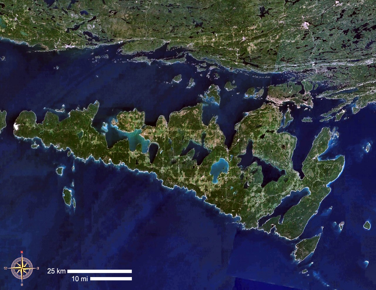
| 描述 | Manitoulin Island, Ontario, Canada |
| 來源 | NASA WorldWind |
| 作者 | NASA WorldWind |
| This image is in the public domain because it is a screenshot from NASA’s globe software World Wind using a public domain layer, such as Blue Marble, MODIS, Landsat, SRTM, USGS or GLOBE.
|
 |
檔案歷史
撳個日期/時間去睇響嗰個時間出現過嘅檔案。
| 日期/時間 | 縮圖 | 尺寸 | 用戶 | 註解 | |
|---|---|---|---|---|---|
| 現時 | 2019年4月23號 (二) 10:20 | | 1,280 × 986(369 KB) | Gretarsson | scale bars added |
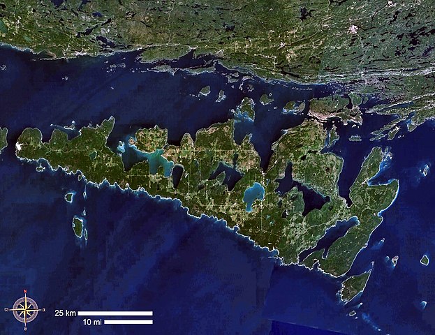
| 2006年9月5號 (二) 14:36 |  | 1,280 × 986(282 KB) | P199 | {{Information |Description= Manitoulin Island, Ontario, Canada |Source= NASA WorldWind |Date= |Author= |Permission= |other_versions= }} |
檔案用途
以下嘅1版用到呢個檔:
全域檔案使用情況
下面嘅維基都用緊呢個檔案:
- arz.wikipedia.org嘅使用情況
- ast.wikipedia.org嘅使用情況
- az.wikipedia.org嘅使用情況
- be.wikipedia.org嘅使用情況
- bg.wikipedia.org嘅使用情況
- ca.wikipedia.org嘅使用情況
- ceb.wikipedia.org嘅使用情況
- da.wikipedia.org嘅使用情況
- de.wikipedia.org嘅使用情況
- en.wikipedia.org嘅使用情況
- en.wikivoyage.org嘅使用情況
- eo.wikipedia.org嘅使用情況
- es.wikipedia.org嘅使用情況
- eu.wikipedia.org嘅使用情況
- fa.wikipedia.org嘅使用情況
- fi.wikipedia.org嘅使用情況
- fr.wikipedia.org嘅使用情況
- Île Manitoulin
- Discussion:Île Manitoulin
- Liste d'îles lacustres
- Wikipédia:Statistiques des anecdotes de la page d'accueil/Visibilité des anecdotes (2018)
- Discussion:Île Manitoulin/LSV 14509
- Wikipédia:Statistiques des anecdotes de la page d'accueil/Visibilité des anecdotes (2018)/2018 03
- Projet:Aide et accueil/Twitter/Tweets/archives/mars 2018
- Wikipédia:Le saviez-vous ?/Archives/2018
- fy.wikipedia.org嘅使用情況
- gl.wikipedia.org嘅使用情況
- he.wikipedia.org嘅使用情況
- hr.wikipedia.org嘅使用情況
- it.wikipedia.org嘅使用情況
- ja.wikipedia.org嘅使用情況
- ka.wikipedia.org嘅使用情況
- nl.wikipedia.org嘅使用情況
- no.wikipedia.org嘅使用情況
- pl.wikipedia.org嘅使用情況
- pl.wikivoyage.org嘅使用情況
- pt.wikipedia.org嘅使用情況
- ro.wikipedia.org嘅使用情況
- ru.wikipedia.org嘅使用情況
- sv.wikipedia.org嘅使用情況
- uk.wikipedia.org嘅使用情況
- www.wikidata.org嘅使用情況
- zh.wikipedia.org嘅使用情況