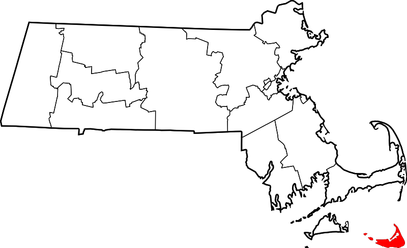
File:Map of Massachusetts highlighting Nantucket County.svg

呢個「SVG」檔案嘅呢個「PNG」預覽嘅大細:800 × 489 像素。 第啲解像度:320 × 196 像素|640 × 391 像素|1,024 × 626 像素|1,280 × 783 像素|2,560 × 1,566 像素|1,488 × 910 像素。
原本檔案 (SVG檔案,表面大細: 1,488 × 910 像素,檔案大細:26 KB)
檔案歷史
撳個日期/時間去睇響嗰個時間出現過嘅檔案。
| 日期/時間 | 縮圖 | 尺寸 | 用戶 | 註解 | |
|---|---|---|---|---|---|
| 現時 | 2024年6月24號 (一) 21:43 |  | 1,488 × 910(26 KB) | Nux | fix rendering (remove clipping) |
| 2006年2月12號 (日) 12:50 |  | 2,976 × 1,819(43 KB) | David Benbennick | {{subst:User:Dbenbenn/clm|county=Nantucket County|state=Massachusetts|type=county}} |
檔案用途
以下嘅1版用到呢個檔:
全域檔案使用情況
下面嘅維基都用緊呢個檔案:
- ar.wikipedia.org嘅使用情況
- ast.wikipedia.org嘅使用情況
- azb.wikipedia.org嘅使用情況
- bpy.wikipedia.org嘅使用情況
- ceb.wikipedia.org嘅使用情況
- cy.wikipedia.org嘅使用情況
- da.wikipedia.org嘅使用情況
- de.wikipedia.org嘅使用情況
- en.wikipedia.org嘅使用情況
- Nantucket
- List of counties in Massachusetts
- Dukes County, Province of New York
- Abnecotants Island
- National Register of Historic Places listings in Nantucket County, Massachusetts
- Adams Island (Massachusetts)
- Dry Shoal
- Template:Nantucket County, Massachusetts
- Coskata, Massachusetts
- Madaket, Massachusetts
- Polpis, Massachusetts
- Shawkemo, Massachusetts
- Siasconset, Massachusetts
- Wauwinet, Massachusetts
- User:Nyttend/County templates/MA
- Coskata-Coatue Wildlife Refuge
- Nantucket Shoals
- Sperm whaling
- Nantucket National Wildlife Refuge
- Category:Populated places in Nantucket, Massachusetts
- Nantucket (CDP), Massachusetts
- Template:NantucketCountyMA-geo-stub
- Nantucket Basin
- Massachusetts Senate's Cape and Islands district
- Massachusetts House of Representatives' Barnstable, Dukes and Nantucket district
- User:AridCeption/sandbox
- es.wikipedia.org嘅使用情況
- eu.wikipedia.org嘅使用情況
- fa.wikipedia.org嘅使用情況
- fa.wikivoyage.org嘅使用情況
睇呢個檔案嘅更多全域使用情況。