File:Mbeya.jpg
原本檔案 (1,800 × 1,215 像素,檔案大細:1.26 MB ,MIME類型:image/jpeg)
摘要
| 描述 |
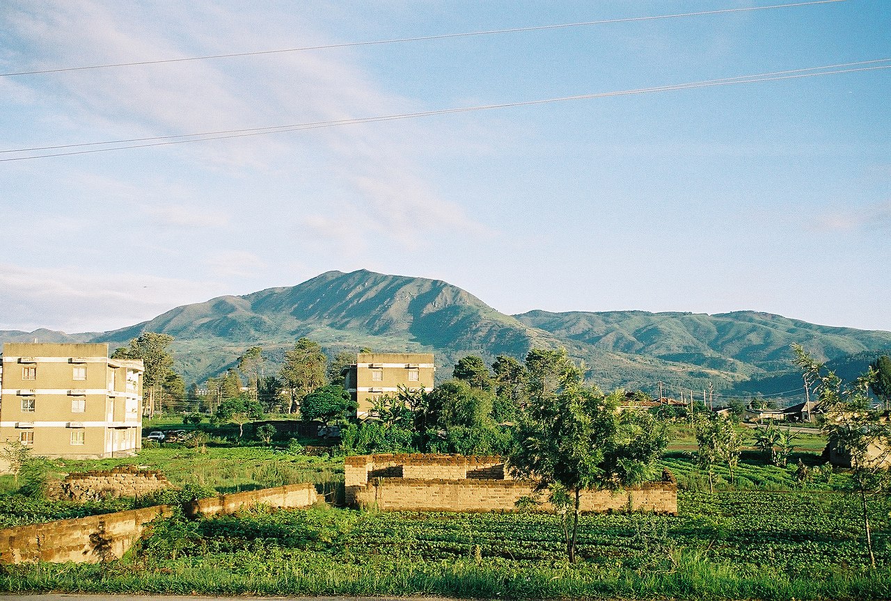
English: Taken by Andrew Coe, of the hills surrounding Mbeya town |
| 日期 | 2006年1月27號 (original upload date) |
| 來源 | Transferred from en.wikipedia; transfer was stated to be made by User:Sémhur. |
| 作者 | Andrew Coe at en.wikipedia |
| 許可 (重用呢個檔案) |
Released into the public domain (by the author). |
| Object location | | View this and other nearby images on: OpenStreetMap |
|---|
協議
| |
This work has been released into the public domain by its author, Andrewcoe22, at the 英文 維基百科 project. This applies worldwide. In case this is not legally possible: |
Original upload log
The original description page was here. All following user names refer to en.wikipedia.
- 2006-01-27 18:28 Andrewcoe22 1800×1215× (1324437 bytes) Taken by Andrew Coe, of the hills surrounding Mbeya town
檔案歷史
撳個日期/時間去睇響嗰個時間出現過嘅檔案。
| 日期/時間 | 縮圖 | 尺寸 | 用戶 | 註解 | |
|---|---|---|---|---|---|
| 現時 | 2009年5月3號 (日) 09:39 |  | 1,800 × 1,215(1.26 MB) | Sémhur | zut |
| 2009年5月3號 (日) 09:37 |  | 1,800 × 1,215(97 KB) | Sémhur | =={{int:summary}}== {{Information |Description={{en|Taken by Andrew Coe, of the hills surrounding Mbeya town}} |Source=Transferred from [http://en.wikipedia.org en.wikipedia]; transfer was stated to be made by User:Sémhur. |Date={{Date|2006|01|27}} ( |
檔案用途
以下嘅1版用到呢個檔:
全域檔案使用情況
下面嘅維基都用緊呢個檔案:
- ar.wikipedia.org嘅使用情況
- avk.wikipedia.org嘅使用情況
- azb.wikipedia.org嘅使用情況
- bg.wikipedia.org嘅使用情況
- ceb.wikipedia.org嘅使用情況
- cs.wikipedia.org嘅使用情況
- de.wikivoyage.org嘅使用情況
- en.wikipedia.org嘅使用情況
- en.wikivoyage.org嘅使用情況
- eo.wikipedia.org嘅使用情況
- es.wikipedia.org嘅使用情況
- et.wikipedia.org嘅使用情況
- fa.wikipedia.org嘅使用情況
- fi.wikipedia.org嘅使用情況
- fr.wikipedia.org嘅使用情況
- fr.wikivoyage.org嘅使用情況
- ha.wikipedia.org嘅使用情況
- he.wikipedia.org嘅使用情況
- he.wikivoyage.org嘅使用情況
- hr.wikipedia.org嘅使用情況
- hu.wikipedia.org嘅使用情況
- hy.wikipedia.org嘅使用情況
- ig.wikipedia.org嘅使用情況
- it.wikipedia.org嘅使用情況
- ja.wikipedia.org嘅使用情況
- ja.wikivoyage.org嘅使用情況
- kk.wikipedia.org嘅使用情況
- ko.wikipedia.org嘅使用情況
- lt.wikipedia.org嘅使用情況
- mi.wikipedia.org嘅使用情況
- mt.wikipedia.org嘅使用情況
- nn.wikipedia.org嘅使用情況
- no.wikipedia.org嘅使用情況
- pl.wikipedia.org嘅使用情況
- ro.wikipedia.org嘅使用情況
- ru.wikipedia.org嘅使用情況
- sr.wikipedia.org嘅使用情況
- sv.wikipedia.org嘅使用情況
- sw.wikipedia.org嘅使用情況
- th.wikipedia.org嘅使用情況
- tl.wikipedia.org嘅使用情況
睇呢個檔案嘅更多全域使用情況。