File:Morus bassanus adu.jpg
原本檔案 (2,803 × 1,869 像素,檔案大細:817 KB ,MIME類型:image/jpeg)
|

摘要
| 描述 |
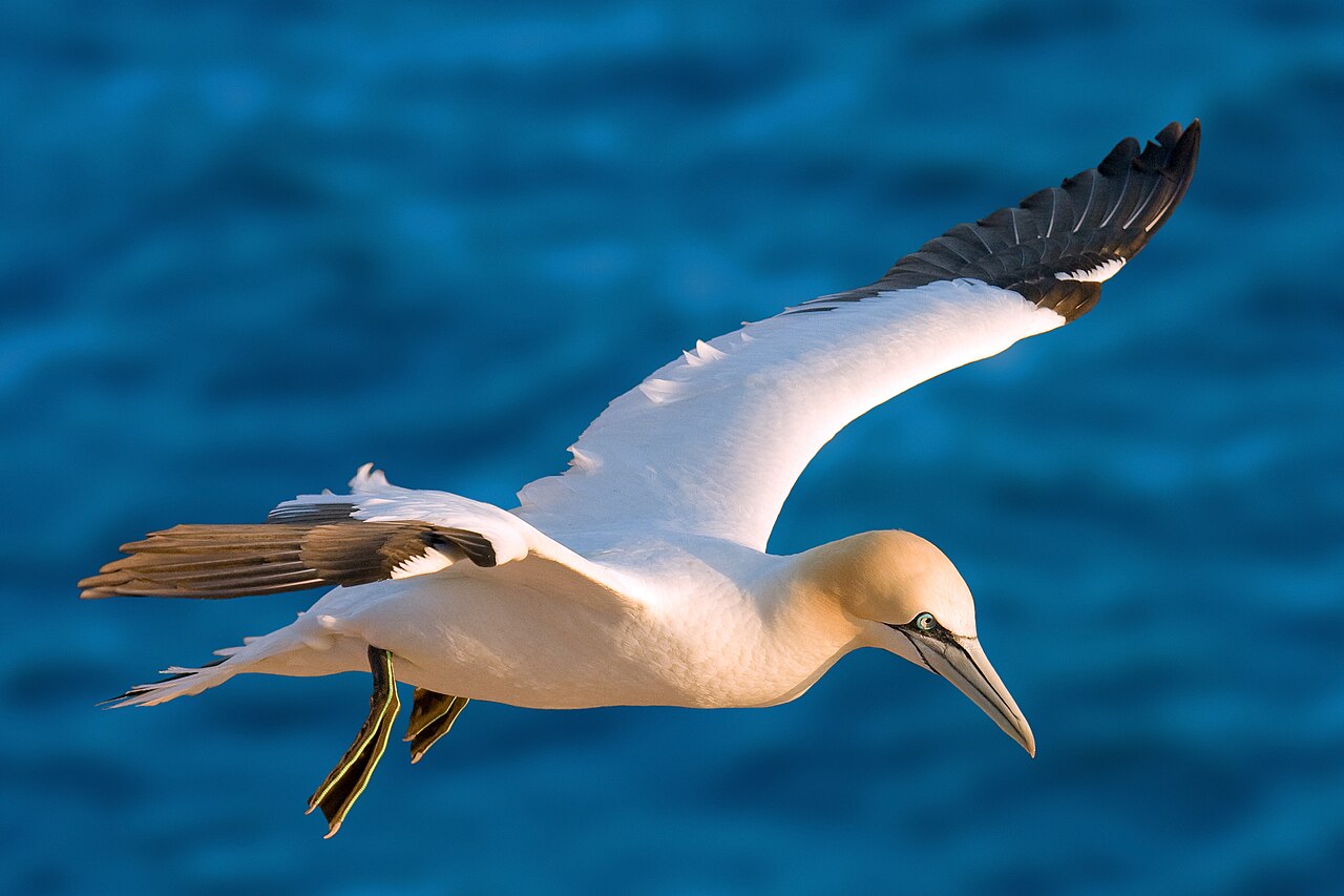
Morus bassanus; Northern Gannet, Heligoland (Germany) Беларуская (тарашкевіца): Паўночная олуша
Български: Бял рибояд
Brezhoneg: Morskoul
Čeština: Terej bílý
Cymraeg: Hugan
Dansk: Sule
Deutsch: Basstölpel
English: Northern Gannet
Español: Alcatraz común o atlántico
Esperanto: Norda sulo
Suomi: Suula
Français : Fou de Bassan
עברית: סולה צפונית
Íslenska: Súla (fugl)
Italiano: Morus bassanus
Lietuvių: Šiaurinis padūkėlis
Nederlands: Jan-van-gent
Norsk bokmål: Havsule
Polski: Głuptak
Português: Ganso-patola
Slovenčina: Sula biela
Svenska: Havssula
Українська: Олуша північна (Morus bassanus), острови Гельґоланд, Німеччина |
||||
| 日期 | |||||
| 來源 | 自己作品 | ||||
| 作者 | Andreas Trepte | ||||
| 許可 (重用呢個檔案) |
This file is licensed under the Creative Commons Attribution-Share Alike 2.5 Generic license.
|
| Camera location | | View this and other nearby images on: OpenStreetMap |
|---|
檔案歷史
撳個日期/時間去睇響嗰個時間出現過嘅檔案。
| 日期/時間 | 縮圖 | 尺寸 | 用戶 | 註解 | |
|---|---|---|---|---|---|
| 現時 | 2009年6月14號 (日) 07:39 |  | 2,803 × 1,869(817 KB) | Merops | geo tag added |
| 2009年5月28號 (四) 17:54 |  | 2,708 × 1,805(639 KB) | Merops | update | |
| 2009年5月26號 (二) 06:22 |  | 2,803 × 1,869(735 KB) | Merops | better version | |
| 2005年9月26號 (一) 05:16 |  | 800 × 622(127 KB) | Merops | {{Information| |Description = Morus bassanus; Northern Gannet |Source = own picture, Helgoland North Sea |Date = 6. May 2005 |Author = Andreas Trepte( ~~~ ) }} |
檔案用途
以下嘅1版用到呢個檔:
全域檔案使用情況
下面嘅維基都用緊呢個檔案:
- an.wikipedia.org嘅使用情況
- ar.wikipedia.org嘅使用情況
- arz.wikipedia.org嘅使用情況
- ast.wikipedia.org嘅使用情況
- be-tarask.wikipedia.org嘅使用情況
- br.wikipedia.org嘅使用情況
- ca.wikipedia.org嘅使用情況
- ceb.wikipedia.org嘅使用情況
- cs.wikipedia.org嘅使用情況
- da.wikipedia.org嘅使用情況
- de.wikipedia.org嘅使用情況
- de.wiktionary.org嘅使用情況
- el.wikipedia.org嘅使用情況
- en.wikipedia.org嘅使用情況
- List of birds of Great Britain
- Gannet
- Sulidae
- Northern gannet
- List of birds of Canada
- List of the prehistoric life of Virginia
- Wikipedia:Wikipedia Signpost/2018-08-30/Featured content
- User:Abyssal/Image captions to use
- Portal:Scottish islands/Fauna
- User:Abyssal/Aspect ratio table
- User:Meanteenbirder/sandbox
- User:The0Quester/Gallery/Animals
- en.wiktionary.org嘅使用情況
- eo.wikipedia.org嘅使用情況
- es.wikipedia.org嘅使用情況
睇呢個檔案嘅更多全域使用情況。