File:Sibu Wharf.jpg
原本檔案 (2,016 × 1,134 像素,檔案大細:1.23 MB ,MIME類型:image/jpeg)
摘要
| 描述 |
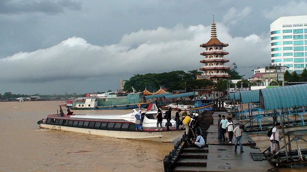
English: Sibu wharf, Sibu, Sarawak |
| 日期 | |
| 來源 | Own work by spot_ON |
| 作者 | SpOt ON |
| Camera location | | View this and other nearby images on: OpenStreetMap |
|---|
協議
| I, the copyright holder of this work, release this work into the public domain. This applies worldwide. In some countries this may not be legally possible; if so: I grant anyone the right to use this work for any purpose, without any conditions, unless such conditions are required by law. |
檔案歷史
撳個日期/時間去睇響嗰個時間出現過嘅檔案。
| 日期/時間 | 縮圖 | 尺寸 | 用戶 | 註解 | |
|---|---|---|---|---|---|
| 現時 | 2008年9月5號 (五) 16:11 |  | 2,016 × 1,134(1.23 MB) | SpOt ON | {{Information |Description={{en|1=Sibu wharf, Sibu, Sarawak}} |Source=Own work by spot_ON |Author=SpOt ON |Date=20 July 2008 |Permission= |other_versions= }} <!--{{ImageUpload|full}}--> |
檔案用途
以下嘅1版用到呢個檔:
全域檔案使用情況
下面嘅維基都用緊呢個檔案:
- de.wikivoyage.org嘅使用情況
- en.wikipedia.org嘅使用情況
- en.wikivoyage.org嘅使用情況
- fr.wikipedia.org嘅使用情況
- incubator.wikimedia.org嘅使用情況
- ja.wikipedia.org嘅使用情況
- lt.wikipedia.org嘅使用情況
- ms.wikipedia.org嘅使用情況
- nn.wikipedia.org嘅使用情況
- no.wikipedia.org嘅使用情況
- ru.wikipedia.org嘅使用情況
- vi.wikipedia.org嘅使用情況
- zh.wikipedia.org嘅使用情況