File:Topographic Map of Japan.png
原本檔案 (1,800 × 1,400 像素,檔案大細:564 KB ,MIME類型:image/png)
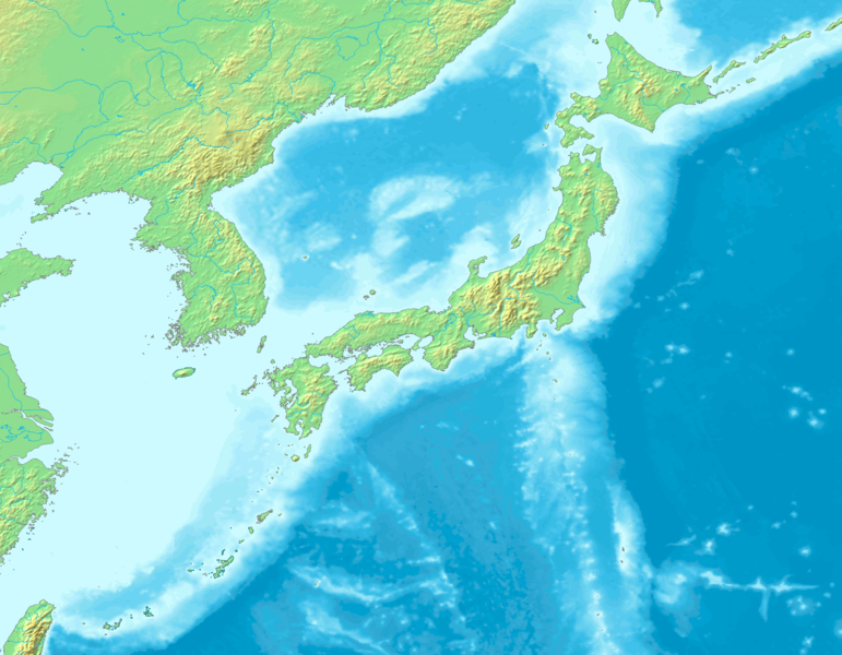
| 描述 | Topographic map of Japan, composed from Image:Topographic30deg N30E120.png and Image:Topographic30deg N0E120.png, both GFDL images. The maps are originally from DEMIS Mapserver, which are public domain. |
| 日期 | |
| 來源 | 自己作品 |
| 作者 | Kzaral |
| 許可 (重用呢個檔案) |
GFDL |

|
根據自由軟體基金會發佈嘅無固定段落、封面文字同封底文字GNU自由文件授權條款第1.2或打後嘅版本,你獲授權可以重製、散佈同埋修改爾份文件。授權條款嘅副本喺章節GNU自由文件授權條款。 |
| 呢個檔案用共享創意 姓名標示-非商業性-相同方式分享3.0 未本地化版本條款授權。 | ||
| ||
| This licensing tag was added to this file as part of the GFDL licensing update. |
檔案歷史
撳個日期/時間去睇響嗰個時間出現過嘅檔案。
| 日期/時間 | 縮圖 | 尺寸 | 用戶 | 註解 | |
|---|---|---|---|---|---|
| 現時 | 2016年9月4號 (日) 05:28 |  | 1,800 × 1,400(564 KB) | JohnnyMrNinja | increased file compression and indexed colors |
| 2008年8月4號 (一) 16:16 |  | 1,800 × 1,400(1.41 MB) | Kzaral~commonswiki | {{Information |Description=Topographic map of Japan, composed from Image:Topographic30deg N30E120.png and Image:Topographic30deg N0E120.png, both GFDL images. The maps are originally from [http://www2.demis.nl/mapserver/mapper.asp DEMIS Mapserve |
檔案用途
以下嘅1版用到呢個檔:
全域檔案使用情況
下面嘅維基都用緊呢個檔案:
- ar.wikipedia.org嘅使用情況
- en.wikipedia.org嘅使用情況
- fa.wikipedia.org嘅使用情況
- id.wikipedia.org嘅使用情況
- incubator.wikimedia.org嘅使用情況
- ko.wikipedia.org嘅使用情況
- mt.wikipedia.org嘅使用情況
- nl.wikipedia.org嘅使用情況