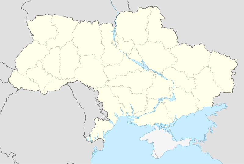
File:Ukraine location map.svg

呢個「SVG」檔案嘅呢個「PNG」預覽嘅大細:800 × 537 像素。 第啲解像度:320 × 215 像素|640 × 430 像素|1,024 × 688 像素|1,280 × 859 像素|2,560 × 1,719 像素|1,546 × 1,038 像素。
原本檔案 (SVG檔案,表面大細: 1,546 × 1,038 像素,檔案大細:429 KB)
摘要
| 描述 |
Deutsch: Positionskarte der Ukraine
Quadratische Plattkarte, N-S-Streckung 150 %. Geographische Begrenzung der Karte:
English: Location map of Ukraine
Equirectangular projection, N/S stretching 150 %. Geographic limits of the map:
Français : Carte de localisation de l'Ukraine
|
| 日期 | |
| 來源 |
own work, using
|
| 作者 | NordNordWest |
| Other versions |
Derivative works of this file: Реализация Закона Украины «Об основах государственной языковой политики» на региональном уровне.svg
|
_location_map.svg)


|
This map has been made or improved in the German Kartenwerkstatt (Map Lab). You can propose maps to improve as well.
|
協議
I, the copyright holder of this work, hereby publish it under the following licenses:

|
根據自由軟體基金會發佈嘅無固定段落、封面文字同封底文字GNU自由文件授權條款第1.2或打後嘅版本,你獲授權可以重製、散佈同埋修改爾份文件。授權條款嘅副本喺章節GNU自由文件授權條款。 |
呢個檔案用共享創意 姓名標示-非商業性-相同方式分享3.0 未本地化版本條款授權。
- 你可以:
- 去分享 – 複製、發佈同傳播呢個作品
- 再改 – 創作演繹作品
- 要遵照下面嘅條件:
- 署名 – 你一定要畀合適嘅表彰、畀返指向呢個授權條款嘅連結,同埋寫明有無改過嚟。你可以用任何合理方式去做,但唔可以用任何方式暗示授權人認可咗你或者你嘅使用方式。
- 相同方式分享 – 如果你用任何方式改過呢個作品,你必須要用返原本或者相似嘅條款發佈。
你可以揀你想用嘅牌照。
檔案歷史
撳個日期/時間去睇響嗰個時間出現過嘅檔案。
| 日期/時間 | 縮圖 | 尺寸 | 用戶 | 註解 | |
|---|---|---|---|---|---|
| 現時 | 2016年1月8號 (五) 15:05 | | 1,546 × 1,038(429 KB) | Roman Poulvas | Reverted to version as of 23:21, 25 December 2015 (UTC) |
| 2016年1月8號 (五) 12:41 |  | 1,547 × 1,041(687 KB) | Green Zero | Reverted to version as of 23:11, 21 December 2015 (UTC) | |
| 2015年12月25號 (五) 23:21 |  | 1,546 × 1,038(429 KB) | A.h. king | Reverted to version as of 11:56, 29 November 2015 (UTC) | |
| 2015年12月21號 (一) 23:11 |  | 1,547 × 1,041(687 KB) | Hjvfy | Reverted to version as of 22:43, 18 November 2015 (UTC) | |
| 2015年11月29號 (日) 11:56 |  | 1,546 × 1,038(429 KB) | Mieczysław Podolski | Reverted to version as of 19:06, 19 September 2014 (UTC) | |
| 2015年11月29號 (日) 11:51 |  | 1,546 × 1,038(429 KB) | Mieczysław Podolski | Reverted to version as of 19:06, 19 September 2014 (UTC) | |
| 2015年11月18號 (三) 22:43 |  | 1,547 × 1,041(687 KB) | Black Future | Distinction that there is dispute is not clear, is grey like other nations, many monitors wouldnt even pick that up | |
| 2014年9月19號 (五) 19:06 |  | 1,546 × 1,038(429 KB) | A.Savin | see File talk:Ukraine location map.svg | |
| 2014年9月14號 (日) 15:46 |  | 1,547 × 1,041(687 KB) | Denniss | Reverted to version as of 16:17, 6 September 2014 | |
| 2014年9月14號 (日) 15:09 |  | 1,546 × 1,038(429 KB) | Leftcry | Reverted to version as of 16:08, 6 September 2014 You are trying to show Ukraine's POV rather than showing a NPOV with Crimea shown as a disputed region. |
檔案用途
無嘢連來呢份檔案。
全域檔案使用情況
下面嘅維基都用緊呢個檔案:
- bn.wikipedia.org嘅使用情況
- de.wikipedia.org嘅使用情況
- en.wikipedia.org嘅使用情況
- es.wikipedia.org嘅使用情況
- fr.wikinews.org嘅使用情況
- fy.wikipedia.org嘅使用情況
- Hrabove (Donjetsk)
- Svjatohirsk Lavra
- Potsjajiv Lavra
- Trije-ienheidskleaster (Tsjernihiv)
- Kristus-Ferlosserkatedraal (Uzjhorod)
- Krúsferheffingskatedraal (Uzjhorod)
- Synagoge fan Uzjhorod
- Sint-Pantaléontsjerke (Sjevtjenkove)
- Untsliepeniskatedraal (Poltava)
- Sint-Sampsontsjerke (Poltava)
- Hillich Krús kleaster (Poltava)
- Pokrovsky Kleaster (Charkov)
- Untsliepeniskatedraal (Charkov)
- Grutte Synagoge (Charkov)
- Ferkundigingskatedraal (Charkov)
- Karmelitetsjerke (Lviv)
- Gouden Roas-synagoge (Lviv)
- Sint-Joariskatedraal (Lviv)
- Sint-Vladimirkatedraal (Lûhansk)
- Aleksander Nevskytsjerke (Lûhansk)
- Transfiguraasjekatedraal (Tsjernihiv)
- Sint-Katarinatsjerke (Tsjernihiv)
- Berjocht:Posysjekaart Oekraïne
- UEFA Euro 2012
- Volodymyr (stêd)
- Severodonetsk
- hu.wikipedia.org嘅使用情況
- inh.wikipedia.org嘅使用情況
- lez.wikipedia.org嘅使用情況
- nn.wikipedia.org嘅使用情況
睇呢個檔案嘅更多全域使用情況。