File:Ukraine relief location map.jpg
原本檔案 (1,720 × 1,157 像素,檔案大細:1.14 MB ,MIME類型:image/jpeg)
| 描述 |
Deutsch: Physische Positionskarte der Ukraine
Quadratische Plattkarte, N-S-Streckung 150 %. Geographische Begrenzung der Karte:
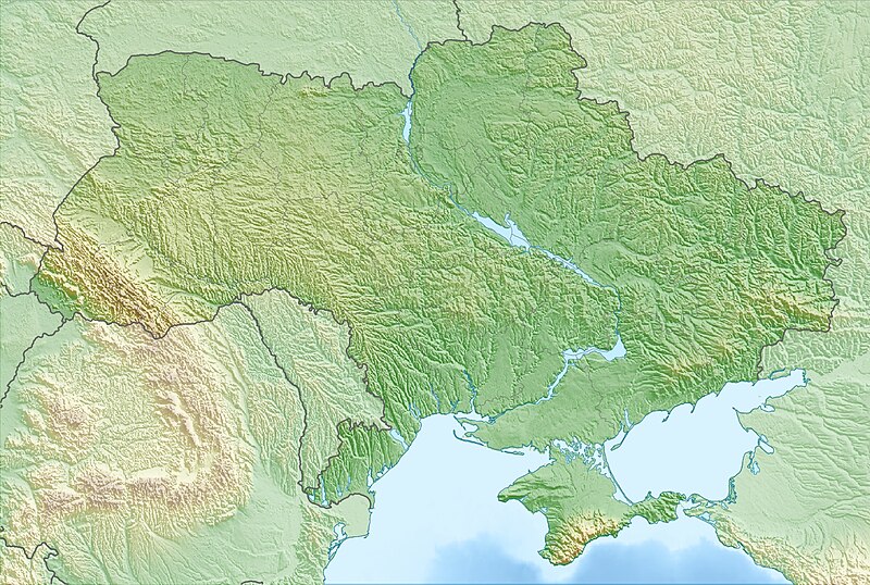
English: Physical location map of Ukraine
Equirectangular projection, N/S stretching 150 %. Geographic limits of the map:
|
| 日期 | |
| 來源 | 自己作品, using map data from administrative map by NordNordWest. The relief was created from SRTM-30 relief data |
| 作者 | Carport |
| 許可 (重用呢個檔案) |
呢個檔案用共享創意 姓名標示-非商業性-相同方式分享3.0 未本地化版本條款授權。
|
| Other versions |
|

檔案歷史
撳個日期/時間去睇響嗰個時間出現過嘅檔案。
| 日期/時間 | 縮圖 | 尺寸 | 用戶 | 註解 | |
|---|---|---|---|---|---|
| 現時 | 2010年3月12號 (五) 16:24 |  | 1,720 × 1,157(1.14 MB) | Carport | {{Information |Description={{de|Physische Positionskarte der {{w|Ukraine|3=de}}}} Quadratische Plattkarte, N-S-Streckung 150 %. Geographische Begrenzung der Karte: * N: 52.7° N * S: 44.1° N * W: 21.5° O * O: 40.7° O {{en|Physical location map of {{w|U |
檔案用途
以下嘅1版用到呢個檔:
全域檔案使用情況
下面嘅維基都用緊呢個檔案:
- als.wikipedia.org嘅使用情況
- ar.wikipedia.org嘅使用情況
- av.wikipedia.org嘅使用情況
- azb.wikipedia.org嘅使用情況
- az.wikipedia.org嘅使用情況
- Krım
- Çernobıl AES
- Şablon:Yer xəritəsi Ukrayna
- Kerç yarımadası
- Qenices boğazı
- Çonqar boğazı
- Arabat boğazı
- Dnestrovsko-Çareqradskoe qirlo
- Or bərzəxi
- Aq-Manay bərzəği
- Kerç boğazı
- Qoverla
- Zmeynıy adası
- Optimistiçeskaya mağarası
- Sınevir
- Brebeneskul
- Adalar adası
- Arabat əqrəbi
- Qılburun dili
- Aleşkov qumları
- Baqqal dili
- Belıe Kuçuqurı
- Obitoçnaya dili
- Krivaya dili
- Belosaray dili
- Tuzla dili
- Biryoçiy adası
- Fedotov dili
- Berdyan dili
- Yəşəm çimərliyi
- Massandra çimərliyi
- Müqəddəs Hadisə qayası
- Alyaud yarımadası
- Çonqar yarımadası
- Yaqorliski Kut
- Tərxan Qut yarımadası
- Litovski yarımadası
- İqren yarımadası
睇呢個檔案嘅更多全域使用情況。