File:West Malaysia location map with districts.svg

呢個「SVG」檔案嘅呢個「PNG」預覽嘅大細:400 × 457 像素。 第啲解像度:210 × 240 像素|420 × 480 像素|672 × 768 像素|896 × 1,024 像素|1,792 × 2,048 像素。
原本檔案 (SVG檔案,表面大細: 400 × 457 像素,檔案大細:998 KB)
摘要
| 描述 |
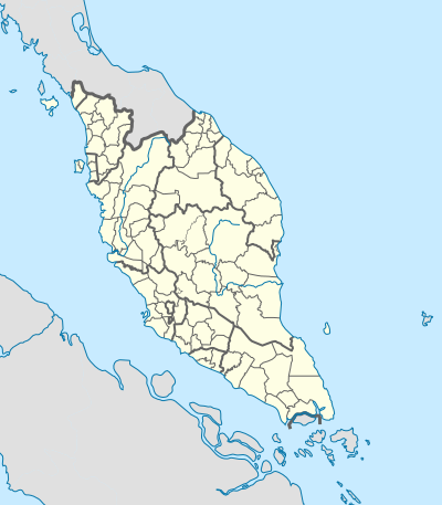
English: Location map of West Malaysia (with districts). |
| 日期 | |
| 來源 | 自己作品 |
| 作者 | Hellerick |
| Other versions | |
| SVG genesis |

協議
我,呢份作品嘅作者,決定用以下許可發佈呢件作品:
This file is licensed under the Creative Commons Attribution-Share Alike 4.0 International license.
- 你可以:
- 去分享 – 複製、發佈同傳播呢個作品
- 再改 – 創作演繹作品
- 要遵照下面嘅條件:
- 署名 – 你一定要畀合適嘅表彰、畀返指向呢個授權條款嘅連結,同埋寫明有無改過嚟。你可以用任何合理方式去做,但唔可以用任何方式暗示授權人認可咗你或者你嘅使用方式。
- 相同方式分享 – 如果你用任何方式改過呢個作品,你必須要用返原本或者相似嘅條款發佈。
檔案歷史
撳個日期/時間去睇響嗰個時間出現過嘅檔案。
| 日期/時間 | 縮圖 | 尺寸 | 用戶 | 註解 | |
|---|---|---|---|---|---|
| 現時 | 2023年10月18號 (三) 10:01 | | 400 × 457(998 KB) | Zh9567 | add Genting sub-district, Gebeng sub-district, Jelai sub-district: https://mygos.mygeoportal.gov.my/upi/ |
| 2021年8月29號 (日) 15:19 |  | 400 × 457(996 KB) | Zh9567 | adjusted Kuala Terengganu / Kuala Nerus border | |
| 2020年4月10號 (五) 09:42 |  | 400 × 457(1,000 KB) | *angys* | UPDATE | |
| 2019年4月17號 (三) 12:41 |  | 400 × 457(2.32 MB) | *angys* | correcting borders | |
| 2017年12月27號 (三) 15:33 |  | 400 × 457(1.76 MB) | Hellerick | Kuala Terengganu borders corrected | |
| 2017年12月25號 (一) 16:19 |  | 400 × 457(1.76 MB) | Hellerick | correcting district borders | |
| 2017年12月22號 (五) 17:31 |  | 400 × 457(1.75 MB) | Hellerick | User created page with UploadWizard |
檔案用途
以下嘅1版用到呢個檔:
全域檔案使用情況
下面嘅維基都用緊呢個檔案:
- bn.wikipedia.org嘅使用情況
- en.wikipedia.org嘅使用情況
- List of districts in Malaysia
- RMAF Butterworth Air Base
- Memali Incident
- Pergau Dam
- User talk:Hellerick
- Tuanku Mizan Zainal Abidin Mosque
- Siege of Malacca (1641)
- Aur Island
- Linggi River
- Module:Location map/data/Malaysia West/doc
- Module:Location map/data/Malaysia West
- 2002 Eisenhower Trophy
- User:Zh9567/Schools/Tamil primary schools
- 2002 Espirito Santo Trophy
- hi.wikipedia.org嘅使用情況
- ko.wikipedia.org嘅使用情況
- min.wikipedia.org嘅使用情況
- ms.wikipedia.org嘅使用情況
- simple.wikipedia.org嘅使用情況
- si.wikipedia.org嘅使用情況
- th.wikipedia.org嘅使用情況
- zh.wikipedia.org嘅使用情況