File:WorldMap-A non-Frame.png
原本檔案 (7,964 × 3,980 像素,檔案大細:7.8 MB ,MIME類型:image/png)
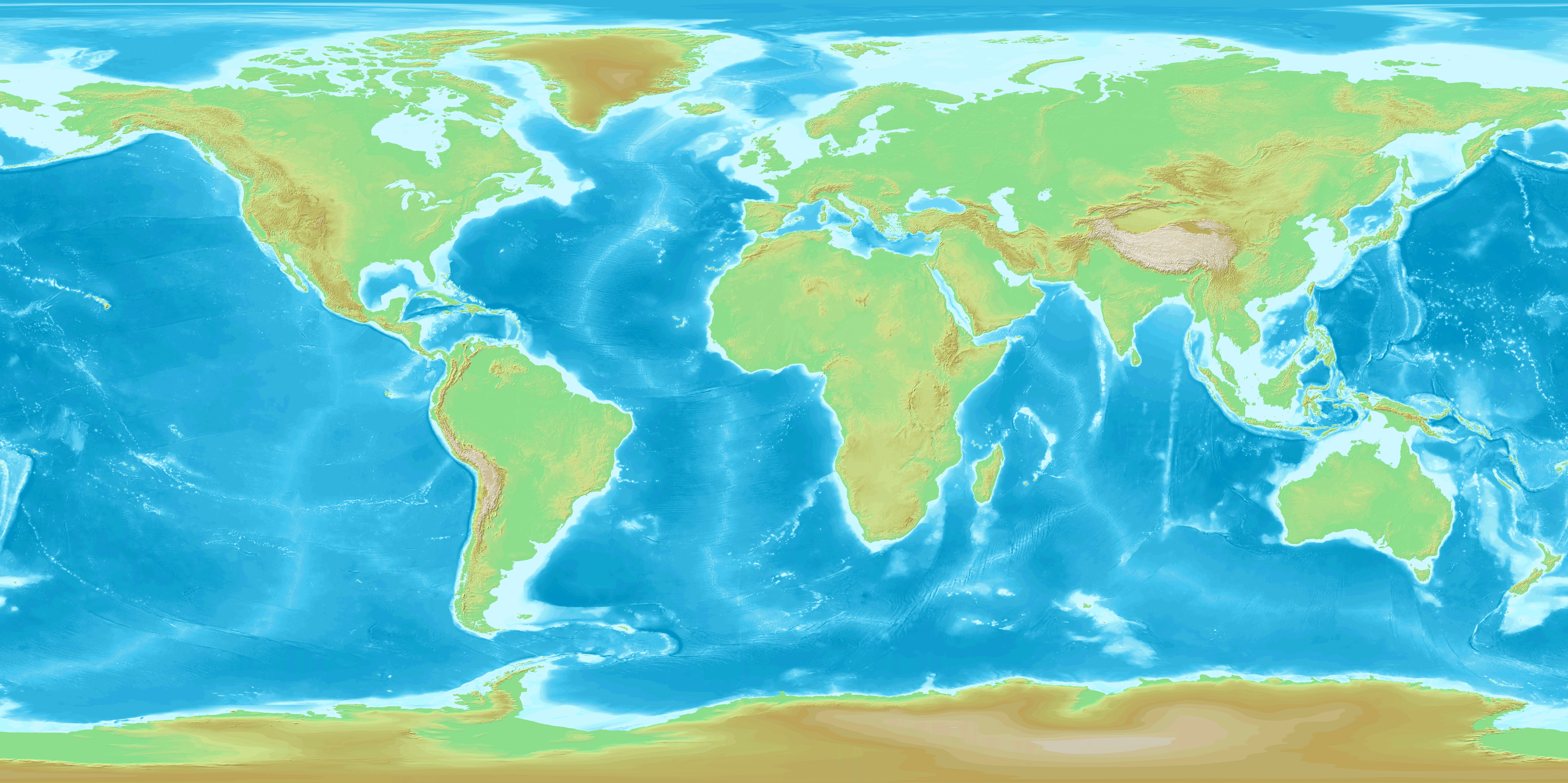
Topographic Map of the World non Frame
Map created from DEMIS Mapserver[dead link], which are public domain. This map-server provided image max 2,000x2,000px, then 8 images was collected in one. Koba-chan
See also World map in Japanese, Blank World map (7,966x3,982)

|
根據自由軟體基金會發佈嘅無固定段落、封面文字同封底文字GNU自由文件授權條款第1.2或打後嘅版本,你獲授權可以重製、散佈同埋修改爾份文件。授權條款嘅副本喺章節GNU自由文件授權條款。 |
| 呢個檔案用共享創意 姓名標示-非商業性-相同方式分享3.0 未本地化版本條款授權。 | ||
| ||
| This licensing tag was added to this file as part of the GFDL licensing update. |
derivative works
Derivative works of this file: WorldMap-A non-Frame-498x498-animated36steps.gif
檔案歷史
撳個日期/時間去睇響嗰個時間出現過嘅檔案。
| 日期/時間 | 縮圖 | 尺寸 | 用戶 | 註解 | |
|---|---|---|---|---|---|
| 現時 | 2013年9月28號 (六) 18:56 | | 7,964 × 3,980(7.8 MB) | McZusatz | Reverted to version as of 16:25, 23 April 2005 |
| 2005年4月23號 (六) 16:25 |  | 7,964 × 3,980(7.8 MB) | Koba-chan | Topographic Map of the World non Frame Map created from [http://www2.demis.nl/mapserver/mapper.asp DEMIS Mapserver], which are public domain. This map-server provided image max 2,000x2,000px, then 8 images was collected in one. ~~~ See also [[:ja:Image: |
檔案用途
無嘢連來呢份檔案。
全域檔案使用情況
下面嘅維基都用緊呢個檔案:
- az.wikiquote.org嘅使用情況
- en.wikipedia.org嘅使用情況
- en.wikiquote.org嘅使用情況